Hirschbichel (1935m) | 1935m
| Elevation gain |
| Elevation loss |
| Distance |
| Duration |
| Highest altitude |
| Rating |
Route Information
Rundtrip to Hirschbichl. 17 km . 1200 m UP.
Automatic direction calculation (experimental feature, please provide feedback)
By car: Navigate using Google maps
By public transport:
Train station near start point: Untergrainau (1.7 Km from start point)
Bus stop near start point: Äussere Maximilianstraße (427 m from start point)
Bus stop near start point: Loisachbrücke (880 m from start point)
Train station near end point: Untergrainau (4.3 Km from end point)
------
Stepbergalm ist closed.
Extra shoes in car.
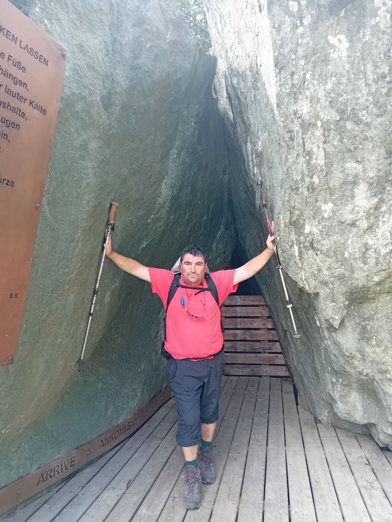
Security in Gelber Gwändt , pay attention
| Technical Difficulty | Medium | |||||||||||
|---|---|---|---|---|---|---|---|---|---|---|---|---|
| Gear | Hiking Boots , Hiking Poles | |||||||||||
| Popularity | 1 | |||||||||||
Route statistics
| Highest point | 1935m | |||||||||||
|---|---|---|---|---|---|---|---|---|---|---|---|---|
| Total gain | 1187m | |||||||||||
| Total loss | 54m | |||||||||||
| Duration | 03h39m | |||||||||||
| Distance | 8.1Km | |||||||||||
| Rating | 922 | |||||||||||
Best Season
Forecast
Author