Rophaien und Äbneter Stöckli | 2060m
| Elevation gain |
| Elevation loss |
| Distance |
| Duration |
| Highest altitude |
| Rating |
Route Information
! Actually a T3 to T4!
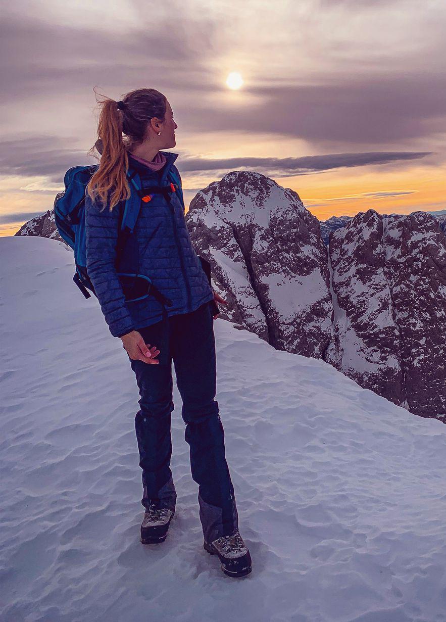
Beautiful views of Vierwaldstättersee, Altdorf and the opposing mountain range. The ridge from Rophaien to Äbneter Stöckli involes some easy scrambeling and is exposed but beautiful.
Automatic direction calculation (experimental feature, please provide feedback)
By car: Navigate using Google maps
By public transport:
Train station near start point: Sisikon (1.9 Km from start point)
------
| Technical Difficulty | Very Easy | |||||||||||
|---|---|---|---|---|---|---|---|---|---|---|---|---|
| Gear | Hiking Boots | |||||||||||
| Popularity | 0 | |||||||||||
Route statistics
| Highest point | 2060m | |||||||||||
|---|---|---|---|---|---|---|---|---|---|---|---|---|
| Total gain | 1774m | |||||||||||
| Total loss | 1775m | |||||||||||
| Duration | 06h21m | |||||||||||
| Distance | 13.6Km | |||||||||||
| Rating | 1359 | |||||||||||
Best Season
Forecast
Author