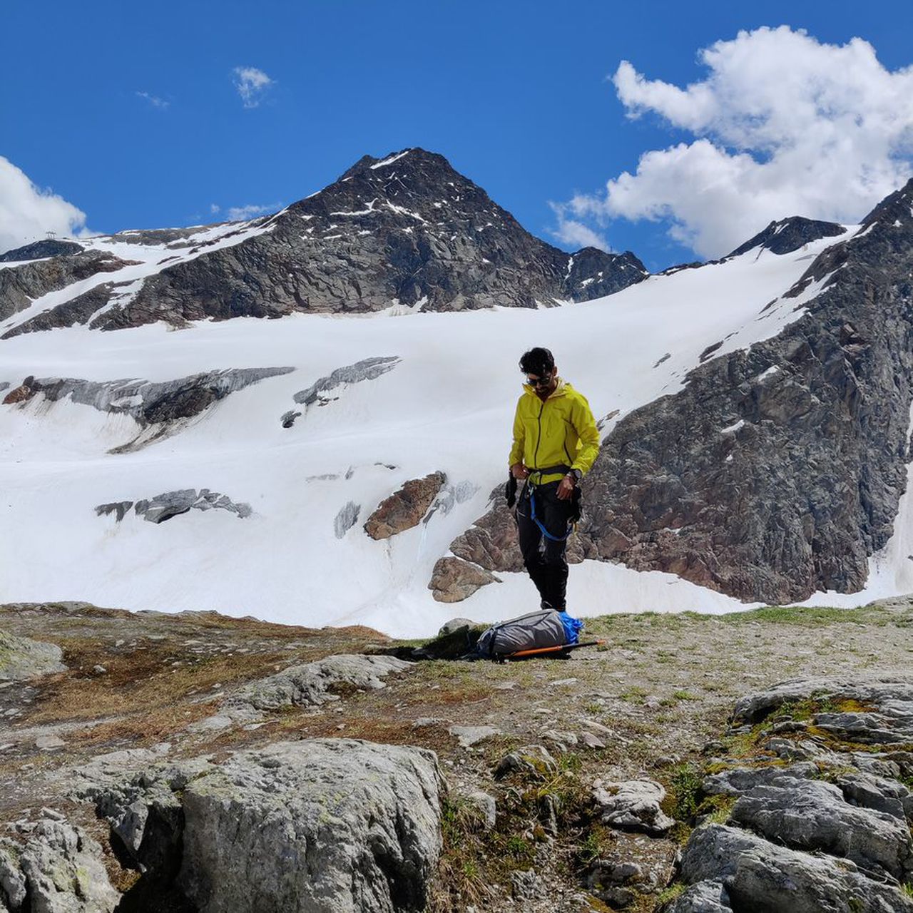
5 Summits in Kleinwalsertal (T4+,II) | 2251m
| Elevation gain |
| Elevation loss |
| Distance |
| Duration |
| Highest altitude |
| Rating |
Route Information
actual recording of the hike: https://www.komoot.com/tour/536376755
Hochgehrenspitze(from north: T4+,II)
Walser Hammerspitze(T3+,I)
Kanzelwand(T3)
Rotewand(T2)
Gehrenspitze (T2)
Automatic direction calculation (experimental feature, please provide feedback)
By car: Navigate using Google maps
By public transport:
Train station near start point: Oberstdorf (9.1 Km from start point)
Bus stop near start point: Riezlern Post (11 m from start point)
Train station near end point: Oberstdorf (13.3 Km from end point)
Bus stop near end point: Helgenweg (295 m from end point)
Bus stop near end point: Mittelberg (457 m from end point)
------
Automatic hut detection (experimental feature, please provide feedback)
Fiderepasshütte (2070 m):
Website: Homepage
Phone: +43-5517-20626;+43-664-320-3676
Location: Google maps
------
| Technical Difficulty | Difficult | |||||||||||
|---|---|---|---|---|---|---|---|---|---|---|---|---|
| Gear | ||||||||||||
| Popularity | 1 | |||||||||||
Route statistics
| Highest point | 2251m | |||||||||||
|---|---|---|---|---|---|---|---|---|---|---|---|---|
| Total gain | 1299m | |||||||||||
| Total loss | 1328m | |||||||||||
| Duration | 06h15m | |||||||||||
| Distance | 13.8Km | |||||||||||
| Rating | 1196 | |||||||||||
Best Season
Forecast
Author