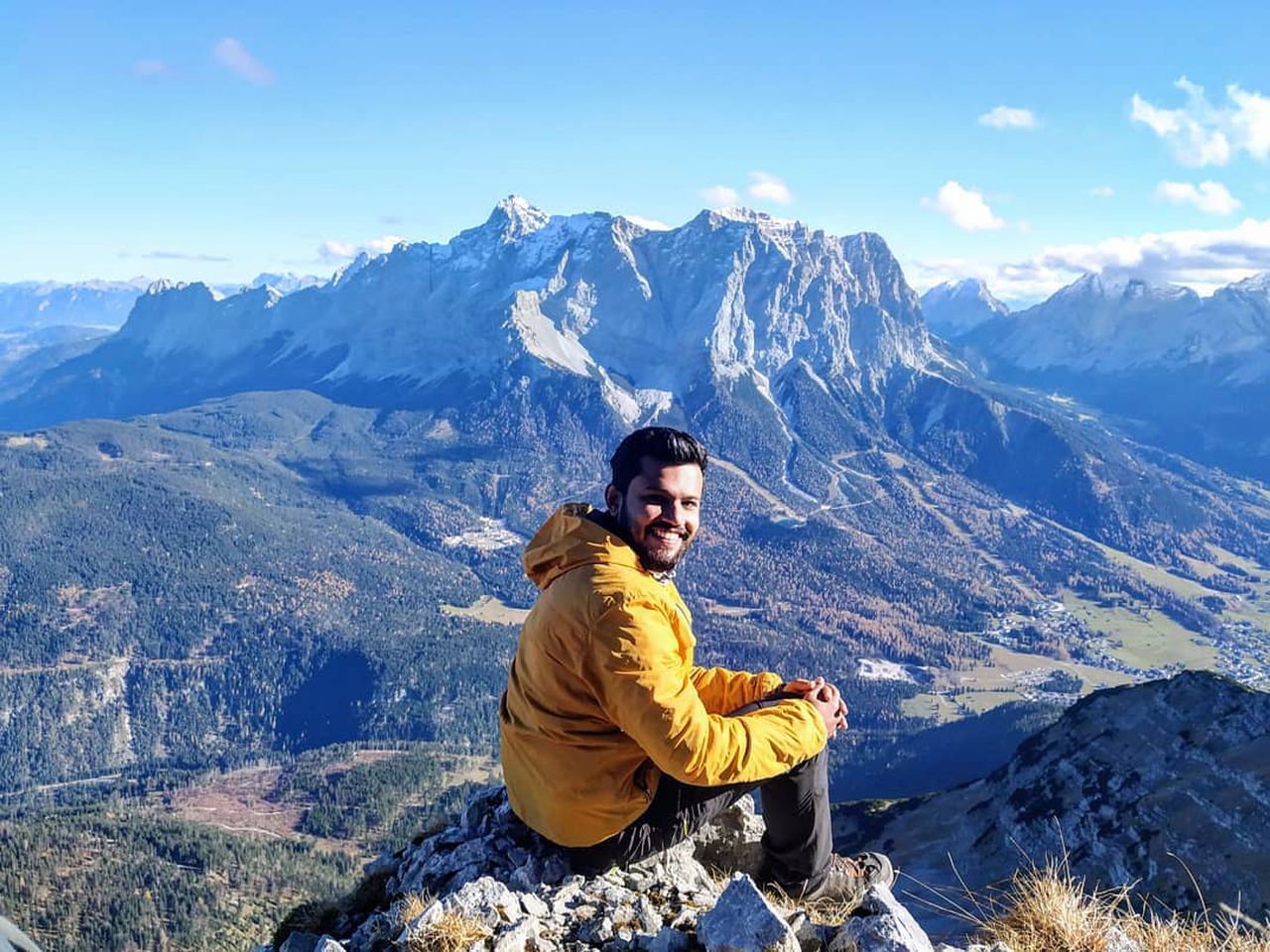
Kofel - Brunnberg - Sonnenberg Grat | 1622m
| Elevation gain |
| Elevation loss |
| Distance |
| Duration |
| Highest altitude |
| Rating |
Route Information
A beautiful hike that starts from & ends at Ober Ammergau. The section from Brunnberg to Sonnenberg has can converted into a challenging version (some parts going up to T5 or maybe even higher). We did not see hikers on the path from Kofel to Brunnberg.
Automatic direction calculation (experimental feature, please provide feedback)
By car: Navigate using Google maps
By public transport:
Train station near start point: Oberammergau (0.8 Km from start point)
Bus stop near start point: Eugen-Papst-Str. (905 m from start point)
------
| Technical Difficulty | Medium | |||||||||||
|---|---|---|---|---|---|---|---|---|---|---|---|---|
| Gear | Hiking Boots | |||||||||||
| Popularity | 0 | |||||||||||
Route statistics
| Highest point | 1622m | |||||||||||
|---|---|---|---|---|---|---|---|---|---|---|---|---|
| Total gain | 909m | |||||||||||
| Total loss | 908m | |||||||||||
| Duration | 04h34m | |||||||||||
| Distance | 11.5Km | |||||||||||
| Rating | 967 | |||||||||||
Best Season
Forecast
Author