This hike will bring you to Linderhof Schloss starting from Oberammergau, through August-Schuster-Haus.
There are various options to get to the Hütte, the track uploaded here goes through comfortable forest road and beautiful trail, but one could also go through the ridge through Kofel and Sonnenberg, which is slightly more exposed.
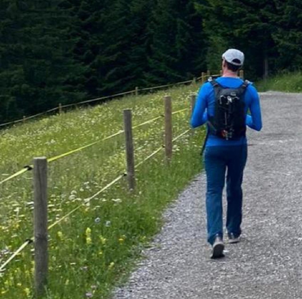
Starting at Oberammergau, one needs to find the way to Kolbensesselbahn starting point, and from there follow the forest road until the Kolbensattelhütte, which is steep at parts, ascending ~450m in ~3km. The Hütte offers beautiful views to Oberammergau valley and the mountains beyond.
From Kolbensattelhütte until August-Schuster-Haus one goes through a pleasant trail surrounded by trees, almost flat for about 2.5km, to then join a forest road with some stunning rocky formations at the left, which will bring us to the Hütte, offering a full new perspective to the south, with views to long Ettal valley, and to various peaks Notkarspitze (in the first row), Felerekopf (a bit further away) and Zugspitze ridge (even further).
The trail that goes down to Linderhof Schloss starts between to of the buildings at August-Schuster-Haus, and it follows the shoulder of Latschenkof for a while. This part is easy on a dry day, but I can imagine it to be more tricky on wet slippery days, and avalanche risky in winter, because the slope is significant, at least until one enters the forest, which descends on a quick zig-zag (~700hm in ~6km). I did this on in autumn, where all these deciduous trees show beautiful variety of colors, specially at the vicinity of the Schloss with these wonderful Beech forest and its carpet of colorful fallen leaves.
From the Schloss back to Oberammergau, one could take a bus (at the Schloss directly, or on the way, for example at Ettaler Mühle), but there is also the option to walk back on a ~12.5km, with little ascend and descend. The first part goes a little bit up, and from there all down on a nice path on the valley, through Gaswang, with nice views to the each direction.