Stuiben Winter | 1749m
| Elevation gain |
| Elevation loss |
| Distance |
| Duration |
| Highest altitude |
| Rating |
Route Information
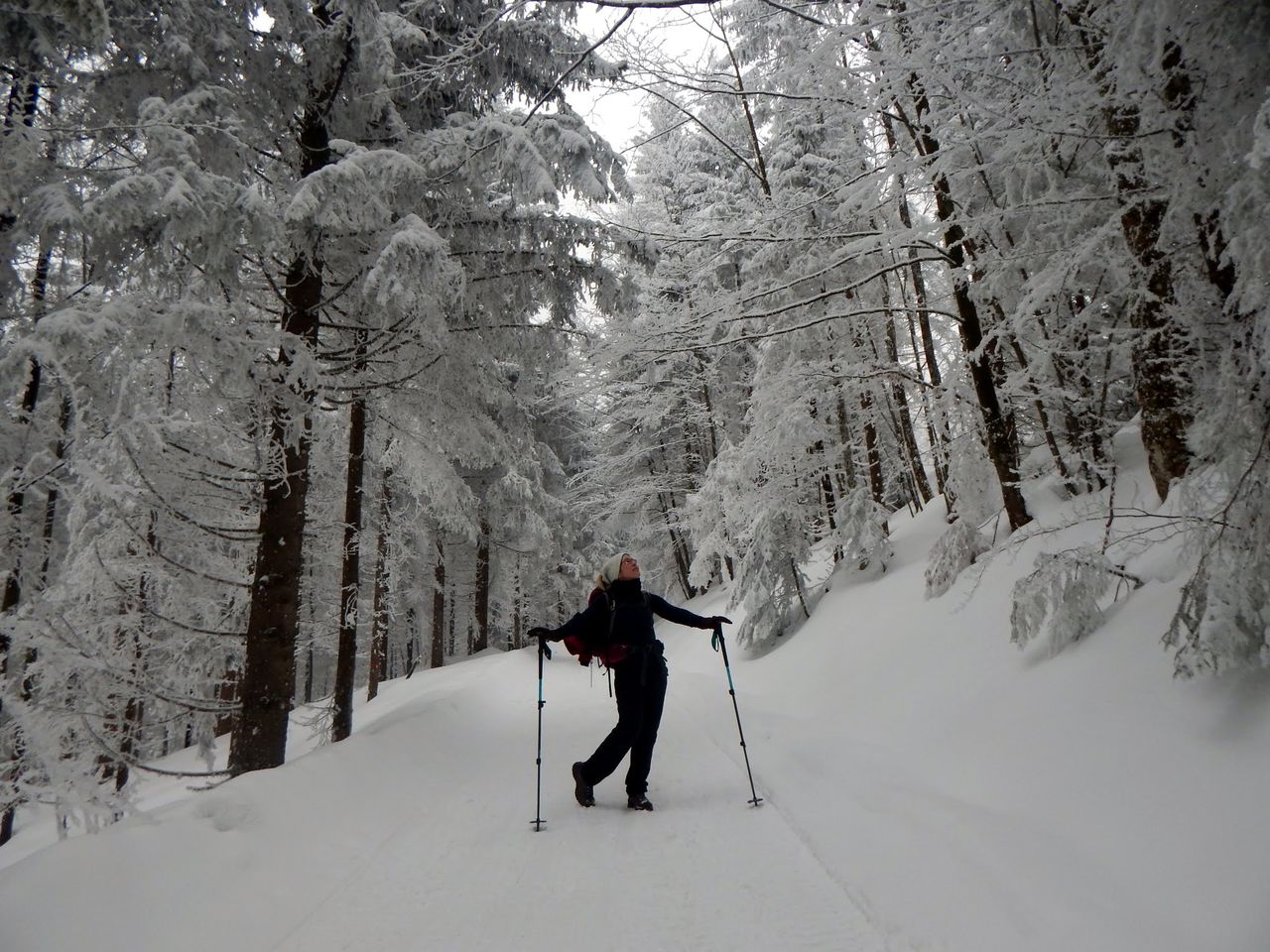
An easy hike mainly on forestweg and some easy trails. Can be done at early wintertime as well or with snowshoes at wintertime but one should check the avalanche level as well as snow level.
Automatic direction calculation (experimental feature, please provide feedback)
By car: Navigate using Google maps
By public transport:
Train station near start point: Immenstadt (0.0 Km from start point)
Bus stop near start point: Bussteig 1 (84 m from start point)
Ref : 1
------
Automatic hut detection (experimental feature, please provide feedback)
Alpe Hochried
Location: Google maps
Alpe Gund (1502 m):
Website: Homepage
Opening hours: We off
Location: Google maps
Sennalpe Mittelberg (1370 m):
Website: Homepage
Location: Google maps
Almagmach (1140 m):
Website: Homepage
Location: Google maps
------
| Technical Difficulty | Easy | |||||||||||
|---|---|---|---|---|---|---|---|---|---|---|---|---|
| Gear | ||||||||||||
| Popularity | 1 | |||||||||||
Route statistics
| Highest point | 1749m | |||||||||||
|---|---|---|---|---|---|---|---|---|---|---|---|---|
| Total gain | 1004m | |||||||||||
| Total loss | 1004m | |||||||||||
| Duration | 06h44m | |||||||||||
| Distance | 17.6Km | |||||||||||
| Rating | 1163 | |||||||||||
Best Season
Forecast
Author