Hochmiesing & Spitzingsee (from Osternhofen to Fischhausen) | 1876m
| Elevation gain |
| Elevation loss |
| Distance |
| Duration |
| Highest altitude |
| Rating |
Route Information
The Hochmiesing is a 1883 m above sea level mountain in the Schlierseer mountains in the Mangfall mountains in the Bavarian Prealps.
The summit can be reached as an easy, but in comparison to the neighboring Rotwand less frequented mountain hike from Spitzingsattel via the saddle between Rauhkopf and Taubenstein (ascent: 2 hours 20 minutes, descent 2 hours, 950 meters altitude) or from Osterhofen.
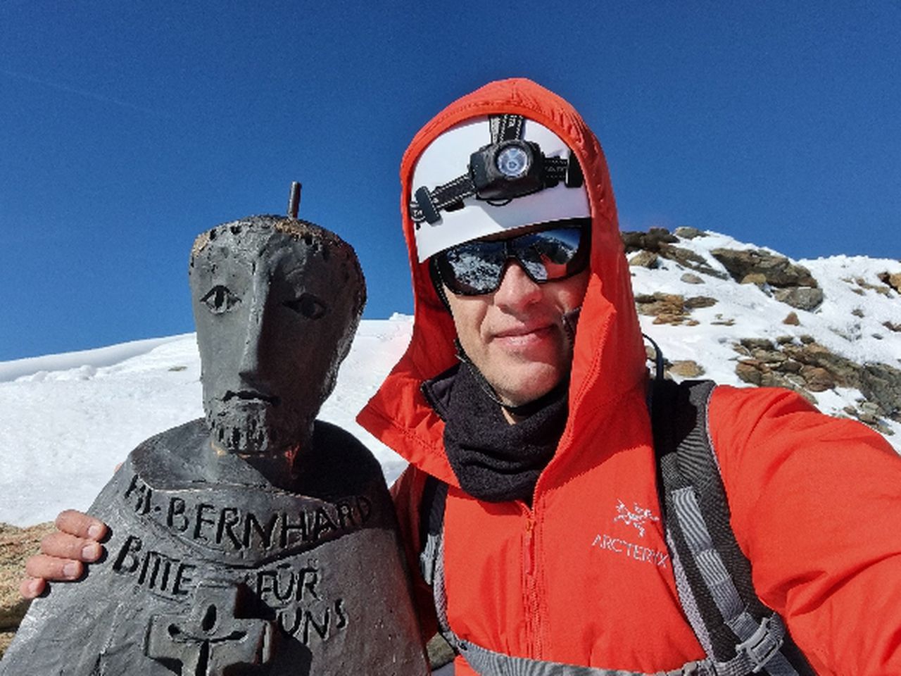
The summit cross was renewed in 1995.
Automatic direction calculation (experimental feature, please provide feedback)
By car: Navigate using Google maps
By public transport:
Train station near start point: Osterhofen (Oberbay) (0.3 Km from start point)
Bus stop near start point: Osterhofen Wendelsteinseilbahn (73 m from start point)
Bus stop near start point: Geitau SEV-Nothaltestelle (1314 m from start point)
Train station near end point: Fischhausen-Neuhaus (0.1 Km from end point)
Bus stop near end point: Neuhaus Bahnhof (21 m from end point)
Ref : 1
Bus stop near end point: Fischhausen (680 m from end point)
Ref : 1
------
Automatic hut detection (experimental feature, please provide feedback)
Taubensteinhaus (1567 m):
Website: Homepage
Phone: +4980267070;+4917656733223
Location: Google maps
------
| Technical Difficulty | Medium | |||||||||||
|---|---|---|---|---|---|---|---|---|---|---|---|---|
| Gear | Hiking Boots , Hiking Poles | |||||||||||
| Popularity | 0 | |||||||||||
Route statistics
| Highest point | 1876m | |||||||||||
|---|---|---|---|---|---|---|---|---|---|---|---|---|
| Total gain | 1248m | |||||||||||
| Total loss | 1232m | |||||||||||
| Duration | 08h36m | |||||||||||
| Distance | 21.4Km | |||||||||||
| Rating | 1452 | |||||||||||
Best Season
Forecast
Author