This is T5-T6 rather than T4 - especially the stretch between Kleine Latemarscharte and Östliche Latemarspitze involves a lot of scrambling on narrow paths.
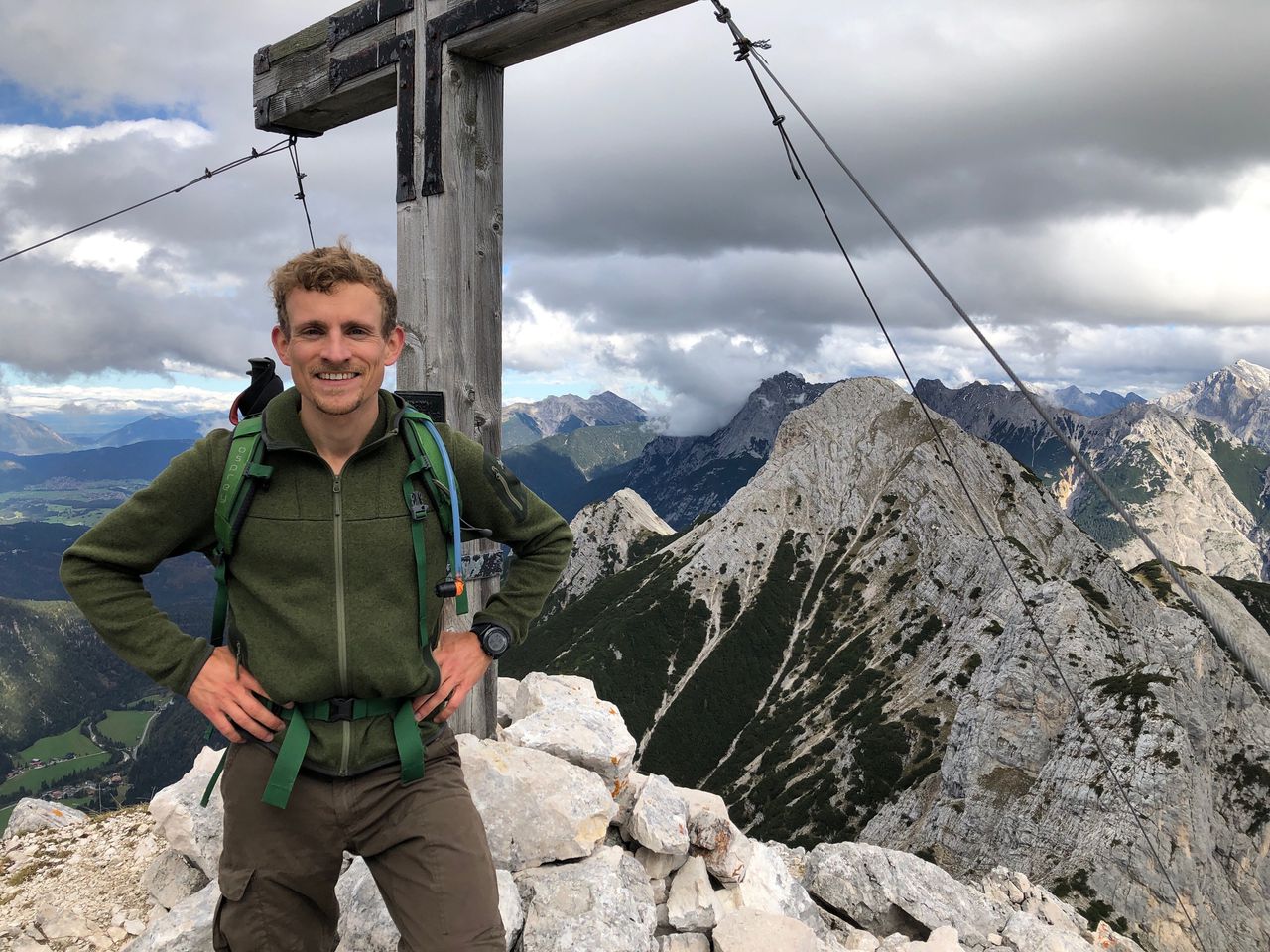
The last day of our trip brings us into and through the beautiful Latemar range that is the immediate extension of Rosengarten to the South. From Rifugio Roda di Vael we start hiking South and descend to Karerpass from where we enter Latemar, beginning at Small Latemar Saddle (Kleine Latemarscharte). The ascent is rather long and boring (~ 1000 m / 3h till there). We're now getting on a narrow trail with frequent scrambles due to rockfalls on the trail. After 2 hours we reach Östliche Latemarspitze (2791 m).
Before entering the via ferrata we descend 200 m / 30 min down to Große Latemarscharte and a little orange bivac hut on a steep and quite exposed trail. Once arrived we can put on our climbing gear. The via ferrata starts with the most complicated section culminating in a slightly overhanging ladder (C). After that stretch it's mostly only straight walking on narrow paths, occasionally assisted by steel ropes. Don't forget to turn right for Diamantiditurm (2842 m), which just an easy scramble away (100 m / 30 mins detour in total). After that it's another 30 minutes along the ferrata and through the spectacular landscape.
After finishing the ferrata we have two choices: Either we head down to Obereggen immediately via Gamsstallscharte from where we can take one of the frequent buses that brings us back to Bolzano (2.5 h), or we stop at Rifugio Torre di Pisa, the only hut in Latemar, for a coffee or a bite to eat before descending to Obereggen (+1.5 h). Another alternative is to take the cable car from Oberholz to Obereggen, saving you a further boring 600 m descent (13,50 €/person, runs till 18:00). There's a fancy café / bar at both the mountain and valley station of the cable car.