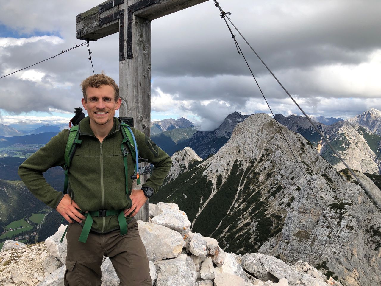
Challenging 4-Day Trip Karwendel Day 2 (Birkkarspitze & Ödkarspitzen) | 2746m
| Elevation gain |
| Elevation loss |
| Distance |
| Duration |
| Highest altitude |
| Rating |
Route Information
(No description available)
Automatic direction calculation (experimental feature, please provide feedback)
By car: Navigate using Google maps
By public transport:
Train station near start point: Hall-Thaur (8.6 Km from start point)
Train station near end point: Volders-Baumkirchen (12.2 Km from end point)
------
Automatic hut detection (experimental feature, please provide feedback)
Hallerangerhaus (1768 m):
Website: Homepage
Phone: +436648937583
Wikipedia: Wikipedia page
Location: Google maps
Karwendelhaus (1765 m):
Url: Homepage
Phone: +43-5213-5623
Wikipedia: Wikipedia page
Location: Google maps
Falkenhütte (1846 m):
Website: Homepage
Phone: +43 5245 245
Wikipedia: Wikipedia page
Location: Google maps
------
| Technical Difficulty | Difficult | |||||||||||
|---|---|---|---|---|---|---|---|---|---|---|---|---|
| Gear | ||||||||||||
| Popularity | 0 | |||||||||||
Route statistics
| Highest point | 2746m | |||||||||||
|---|---|---|---|---|---|---|---|---|---|---|---|---|
| Total gain | 2175m | |||||||||||
| Total loss | 2717m | |||||||||||
| Duration | 15h19m | |||||||||||
| Distance | 32.0Km | |||||||||||
| Rating | 2263 | |||||||||||
Best Season
Forecast
Author