[Switzerland] Uetliberg (from Triemli) | 868m
| Elevation gain |
| Elevation loss |
| Distance |
| Duration |
| Highest altitude |
| Rating |
Route Information

Meeting point: Near the bicycle park at Zurich Triemli tram station (Don't mix it with Triemili tram station).
Maps link: https://goo.gl/maps/meGpLpRexJVrBvhB9
Easily accessible by public transport.
By bike, you need a little uphill endurance which could be a good warmup activity.
There is a blue zone parking.
Starting time: 18h00. That is the starting time, we don't wait for latecomers
Pace: beginner-friendly
Route: T2. The way up could be steep and through the woods. Way down is on the main road.
Gear
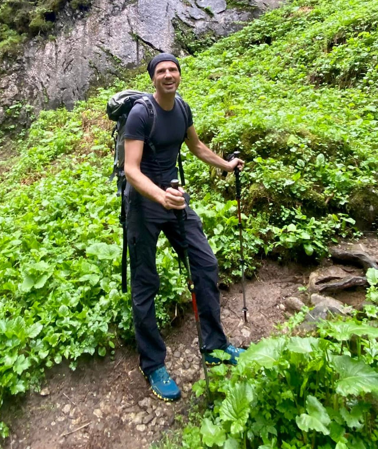
Recommended: Trail running shoes or hiking boots.
Automatic direction calculation (experimental feature, please provide feedback)
By car: Navigate using Google maps
By public transport:
Train station near start point: Zürich Triemli (0.1 Km from start point)
------
| Technical Difficulty | Medium | |||||||||||
|---|---|---|---|---|---|---|---|---|---|---|---|---|
| Gear | ||||||||||||
| Popularity | 54 | |||||||||||
Route statistics
| Highest point | 868m | |||||||||||
|---|---|---|---|---|---|---|---|---|---|---|---|---|
| Total gain | 397m | |||||||||||
| Total loss | 396m | |||||||||||
| Duration | 01h58m | |||||||||||
| Distance | 6.4Km | |||||||||||
| Rating | 603 | |||||||||||
Best Season
Forecast
Author