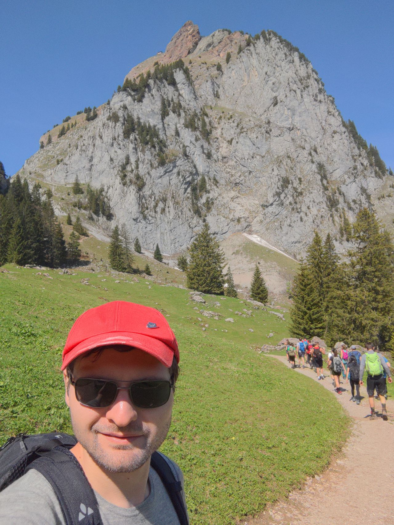
[Switzerland] Rigi crossing | 1785m
| Elevation gain |
| Elevation loss |
| Distance |
| Duration |
| Highest altitude |
| Rating |
Route Information
(No description available)
Automatic direction calculation (experimental feature, please provide feedback)
By car: Navigate using Google maps
By public transport:
Train station near start point: Arth-Goldau (0.0 Km from start point)
Train station near end point: Küssnacht am Rigi (0.0 Km from end point)
------
| Technical Difficulty | Easy | |||||||||||
|---|---|---|---|---|---|---|---|---|---|---|---|---|
| Gear | Hiking Boots | |||||||||||
| Popularity | 2 | |||||||||||
Route statistics
| Highest point | 1785m | |||||||||||
|---|---|---|---|---|---|---|---|---|---|---|---|---|
| Total gain | 1297m | |||||||||||
| Total loss | 1355m | |||||||||||
| Duration | 06h40m | |||||||||||
| Distance | 17.0Km | |||||||||||
| Rating | 1212 | |||||||||||
Best Season
Forecast
Author