[Switzerland] Rigi Hochflue trough Bützi and Stockflue | 1669m
| Elevation gain |
| Elevation loss |
| Distance |
| Duration |
| Highest altitude |
| Rating |
Route Information
Route:
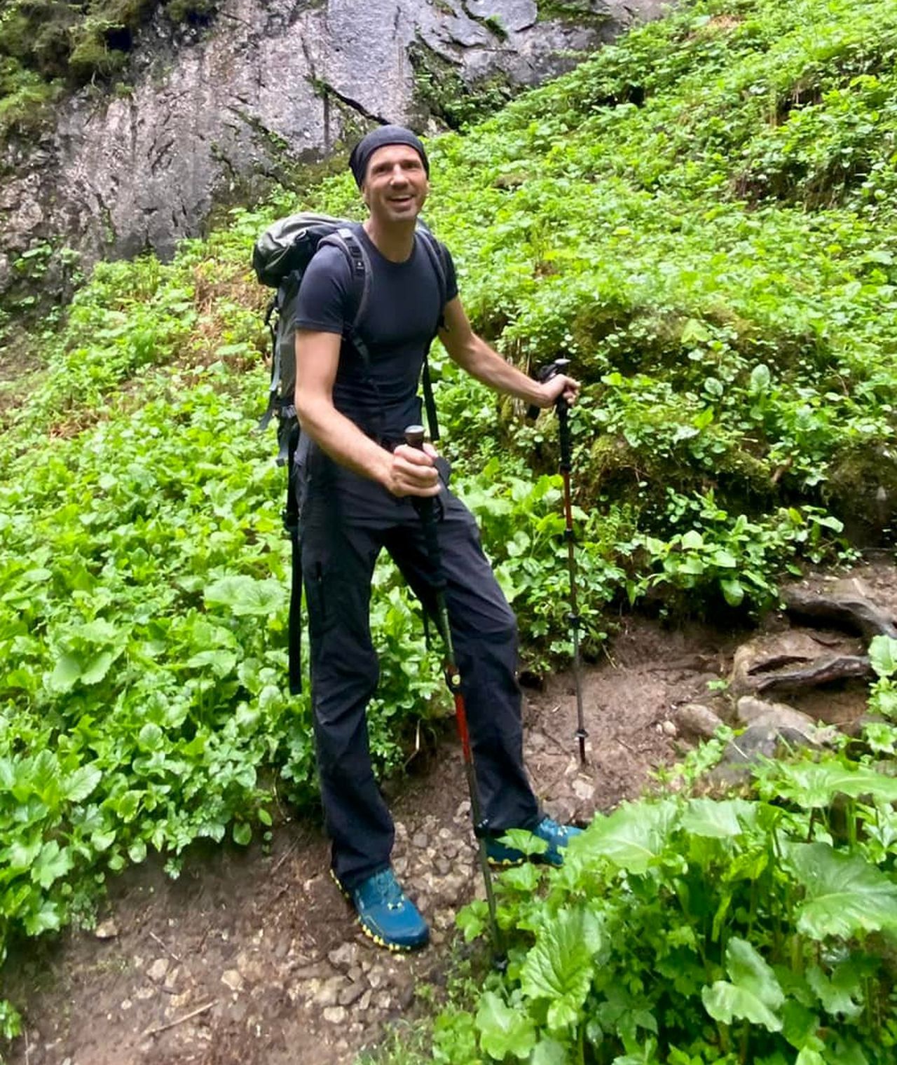
T5, It is a difficult route suitable for experienced hikers with climbing experiences. The route is divided into two parts. The first part to Stockflue includes easy Ferrata (PD-, see description below for the feeling) and ascent to Hochflue which requires some climbing experiences in exposed places (climbing level II). Otherwise very beautiful route gives views of lakes on both sides of Rigi (Luzern and Lauers).
The area offers some easier alternatives in case someone needs to withdraw from the route due to some difficulties.
Requirements:
Participants should be able to climb level II in exposed places without protection.
Pace:
Not too fast so that we still have composure for the last climb.
Meeting point:
Urmiberg valley station (436 m), https://goo.gl/maps/E5zKZB7f8M4ykNtp6
Easy accessible by public transportation. Possible parking Muotaplatz, if there is no place at the cable car station.
Meeting time: 8:30
Expected tour time: 6 hours, we will have a break for a meal at a suitable place.
Extra:
After a tour optional visit to Brunnen and their Swiss knife production (You can make your customized Swiss knife) or swimming in the lake.
Recommended equipment:
hamlet, shoes with Vibram sole, via Ferrata set or equivalent
Description of one of the difficult part to get a little feeling of difficulties:
Bützi - Stokflue
The descent from the Bützi takes place via the steep, sometimes even vertical west wall. A continuous, thick steel cable is used for safety, but this section remains a bit athletic: Although you can always find good steps for your feet, you are completely hanging in the rope in between. This is followed by a second rock ledge, which in turn is defused with a rope and some metal steps - but also requires a strong grip on the rope. Inexperienced people can be secured here with a rope (20 meters is enough). Now up through the forest, gradually keeping to the left, to the foot of the Stockflue. The ascent now offers more climbing points than that of the Bützi. In addition, about 20-30 meters of it are exposed because you move hard on the left edge. The terrain then becomes easier and you come to a wooden hut at the foot of the summit rock. The official markings now lead to the left to bypass the highest point and climb from behind. However, the (unmarked and at first glance very unwelcoming) direct ascent is more interesting. To do this, climb up the small staircase right behind the hut, then climb straight up to a block secured with a steel cable (do not touch!), go past it (II) to the left and around the edge to the west side. Here you will find stepped terrain with dirt tracks and short rocky outcrops - the thing is slightly exposed, but not difficult. A short ridge takes you to the spacious summit. In addition to a fireplace and summit book, there is also a bench here. A secured descent leads down from the summit of the Stockflue, with fixed ropes and a few steps - and a somewhat stupid spot directly in front of the metal steps. Unsafe persons can also be secured here with a piece of rope. A short, simple metal ladder follows, and soon you reach the saddle at about 1110 m north of the Stockflue.
| Technical Difficulty | Very Difficult | |||||||||||
|---|---|---|---|---|---|---|---|---|---|---|---|---|
| Gear | Helmet | |||||||||||
| Popularity | 1 | |||||||||||
Route statistics
| Highest point | 1669m | |||||||||||
|---|---|---|---|---|---|---|---|---|---|---|---|---|
| Total gain | 1303m | |||||||||||
| Total loss | 1290m | |||||||||||
| Duration | 05h08m | |||||||||||
| Distance | 11.2Km | |||||||||||
| Rating | 1215 | |||||||||||
Best Season
Forecast
Author