[T5] Estergebirge Crossing via Minecker Ridge Ascent | 2086m
| Elevation gain |
| Elevation loss |
| Distance |
| Duration |
| Highest altitude |
| Rating |
Route Information
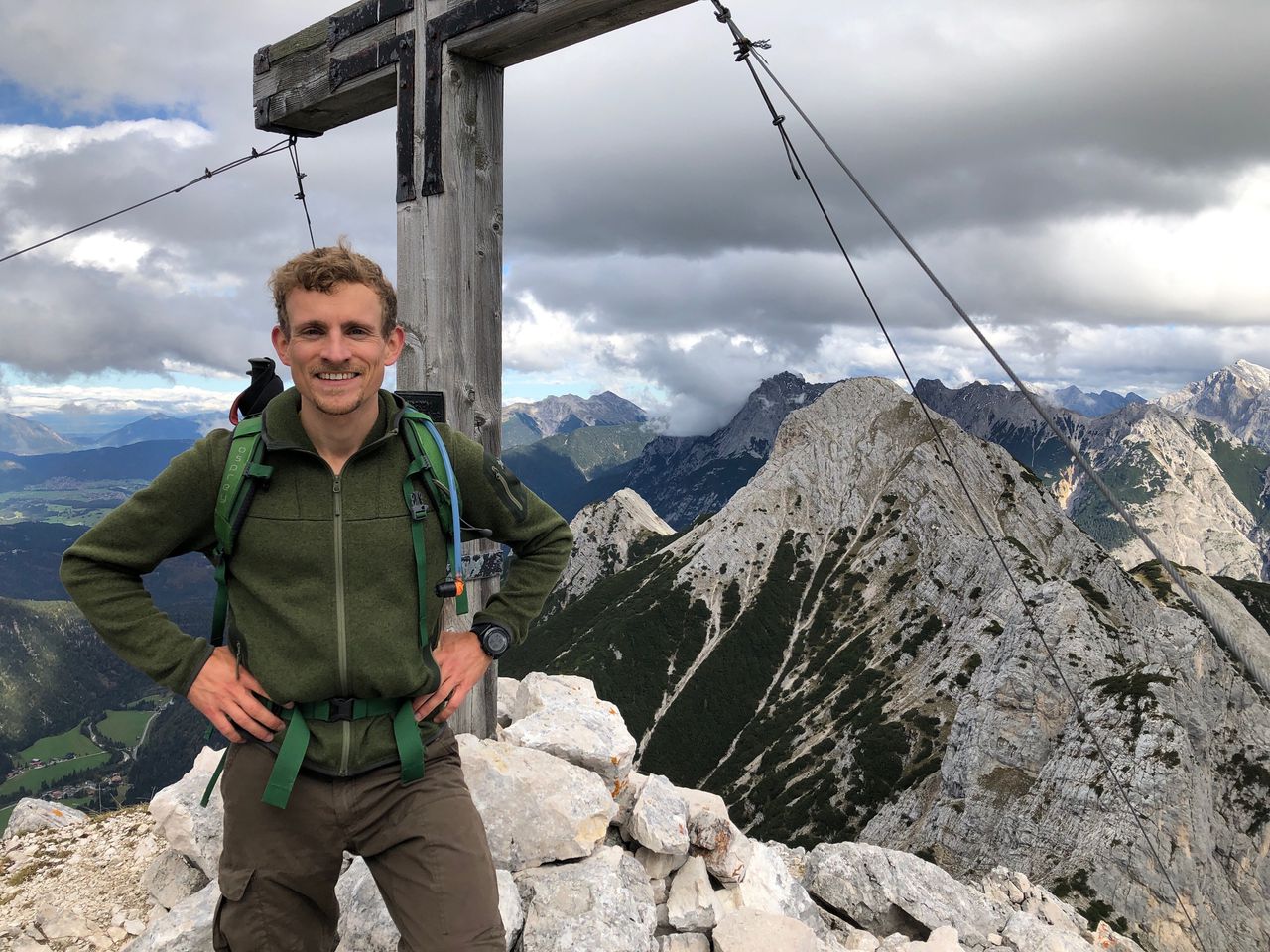
The first ascent of the route is rather T5 than T0-T1 as it is unmarked terrain and involves some scrambling. However it's a really nice and seldom used track.
Find more information here: https://www.familiesteiner.de/wandern/mineckergrat/ or here: https://www.outdooractive.com/de/route/wanderung/zugspitzregion/zwoelferkoepfl-ueber-den-weglosen-mineckergrat/108124949/
Automatic direction calculation (experimental feature, please provide feedback)
By car: Navigate using Google maps
By public transport:
Train station near start point: Eschenlohe (0.3 Km from start point)
Bus stop near start point: Eschenlohe (209 m from start point)
Train station near end point: Garmisch-Partenkirchen (0.0 Km from end point)
Bus stop near end point: Achenfeldstraße (327 m from end point)
Bus stop near end point: Chamonixstraße (370 m from end point)
------
Automatic hut detection (experimental feature, please provide feedback)
Weilheimer Hütte (1946 m):
Url: Homepage
Phone: +1702708052
Location: Google maps
Wank-Haus (1780 m):
Url: Homepage
Phone: +49882156201
Wikipedia: Wikipedia page
Location: Google maps
------
| Technical Difficulty | Medium Difficult | |||||||||||
|---|---|---|---|---|---|---|---|---|---|---|---|---|
| Gear | ||||||||||||
| Popularity | 0 | |||||||||||
Route statistics
| Highest point | 2086m | |||||||||||
|---|---|---|---|---|---|---|---|---|---|---|---|---|
| Total gain | 2464m | |||||||||||
| Total loss | 2393m | |||||||||||
| Duration | 15h45m | |||||||||||
| Distance | 31.0Km | |||||||||||
| Rating | 2442 | |||||||||||
Best Season
Forecast
Author