Biking: Garmisch to Schliersee | 1129m
| Elevation gain |
| Elevation loss |
| Distance |
| Duration |
| Highest altitude |
| Rating |
Route Information
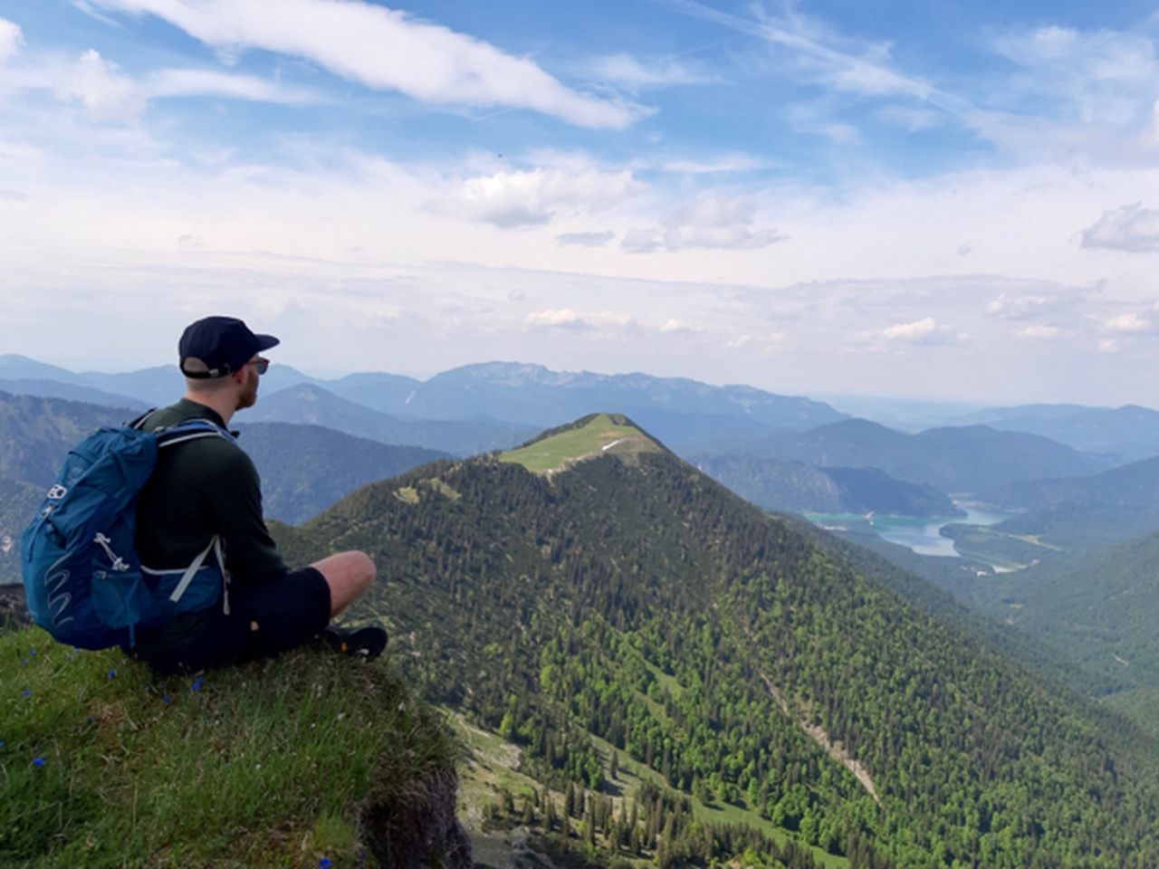
Cycling from Garmisch to Schliersee via Sylvensteinspeicher and Spitzingsee.
There are several possibilities for swimming - Sylvensteinspeicher, Spitzingsee, Schliersee
Automatic direction calculation (experimental feature, please provide feedback)
By car: Navigate using Google maps
By public transport:
Train station near start point: Garmisch-Partenkirchen (0.1 Km from start point)
Bus stop near start point: Achenfeldstraße (387 m from start point)
Bus stop near start point: Chamonixstraße (409 m from start point)
Train station near end point: Schliersee (0.3 Km from end point)
Bus stop near end point: Schliersee Lautererstraße (247 m from end point)
Bus stop near end point: Schliersee Terofal (317 m from end point)
------
Automatic hut detection (experimental feature, please provide feedback)
Blecksteinhaus (1022 m):
Phone: +49802671204
Location: Google maps
------
| Technical Difficulty | Medium | |||||||||||
|---|---|---|---|---|---|---|---|---|---|---|---|---|
| Gear | ||||||||||||
| Popularity | 0 | |||||||||||
Route statistics
| Highest point | 1129m | |||||||||||
|---|---|---|---|---|---|---|---|---|---|---|---|---|
| Total gain | 1712m | |||||||||||
| Total loss | 1644m | |||||||||||
| Duration | 49h34m | |||||||||||
| Distance | 100.1Km | |||||||||||
| Rating | 3967 | |||||||||||
Best Season
Forecast
Author