Dreitorspitzen Überschreitung T5 / III | 2682m
| Elevation gain |
| Elevation loss |
| Distance |
| Duration |
| Highest altitude |
| Rating |
Route Information
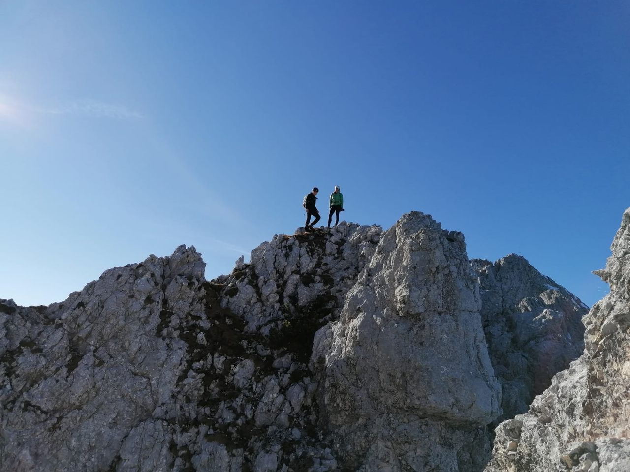
We start in Leutasch, go through Berglein Tal to Meillerhütte. From there the scrambling starts: Signalkopf(I), Partenkirchner Dreitorspitze NO(III-), following to Westgipfel(II). Depending on weather and conditions on the ridge we can continue to Leutascher dreitorspitze(III)
Automatic direction calculation (experimental feature, please provide feedback)
By car: Navigate using Google maps
By public transport:
Train station near start point: Gießenbach (5.1 Km from start point)
Bus stop near start point: Reindlau (322 m from start point)
Bus stop near start point: Unterleutasch Lochlehen (927 m from start point)
------
Automatic hut detection (experimental feature, please provide feedback)
Meilerhütte (2366 m):
Wikipedia: Wikipedia page
Location: Google maps
------
| Technical Difficulty | Medium | |||||||||||
|---|---|---|---|---|---|---|---|---|---|---|---|---|
| Gear | ||||||||||||
| Popularity | 1 | |||||||||||
Route statistics
| Highest point | 2682m | |||||||||||
|---|---|---|---|---|---|---|---|---|---|---|---|---|
| Total gain | 1697m | |||||||||||
| Total loss | 1697m | |||||||||||
| Duration | 08h11m | |||||||||||
| Distance | 16.3Km | |||||||||||
| Rating | 1502 | |||||||||||
Best Season
Forecast
Author