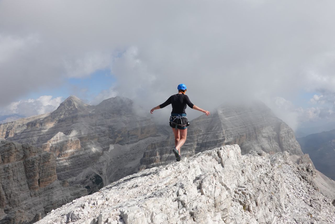
Hochkalter via Blaueis glacier - Berchtesgaden's only Hochtour | 2608m
| Elevation gain |
| Elevation loss |
| Distance |
| Duration |
| Highest altitude |
| Rating |
Route Information
The Blaueis glacier is up to 40° steep and the randkluft opens up in summer, so most people do this tour in May/June to avoid nasty randkluft experiences. Grade UIAA II scrambling. Normal way down to Blaueishütte.
Automatic direction calculation (experimental feature, please provide feedback)
By car: Navigate using Google maps
By public transport:
Train station near start point: Bischofswiesen (9.9 Km from start point)
Bus stop near start point: Brunnerlehen (2082 m from start point)
Bus stop near start point: Abzweig Blaueis (2166 m from start point)
------
Automatic hut detection (experimental feature, please provide feedback)
Blaueishütte (1680 m):
Website: Homepage
Phone: +498657271
Location: Google maps
------
Ice axe, crampons, helmet, gloves, klettersteig set, optional rope
Only recommend if you have experience doing unguided glacier tours.
| Technical Difficulty | Difficult | |||||||||||
|---|---|---|---|---|---|---|---|---|---|---|---|---|
| Gear | Helmet , Gloves | |||||||||||
| Popularity | 1 | |||||||||||
Route statistics
| Highest point | 2608m | |||||||||||
|---|---|---|---|---|---|---|---|---|---|---|---|---|
| Total gain | 908m | |||||||||||
| Total loss | 908m | |||||||||||
| Duration | 03h05m | |||||||||||
| Distance | 5.6Km | |||||||||||
| Rating | 1033 | |||||||||||
Best Season
Forecast
Author