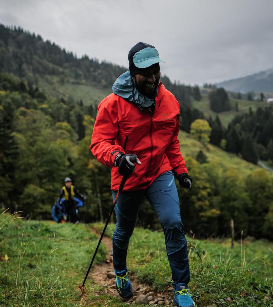
Bike and Hike to the most beautiful Lake of Germany, Schreksee! | 2014m
| Elevation gain |
| Elevation loss |
| Distance |
| Duration |
| Highest altitude |
| Rating |
Route Information
Round trip to Schrecksee from Vilsalpsee.
Even though the SAC scale says it's a T2 hike, it is actually T3, or some parts are more like T4. So, I won't recommend it to beginners.
The hut Landsbergerhuette didn't have Kaisserschmarn but offers amazing landscape almost like Dolomites :)
Well, Allgaeuer Alps are just amazing :)
Automatic direction calculation (experimental feature, please provide feedback)
By car: Navigate using Google maps
By public transport:
Train station near start point: Pfronten-Steinach (13.2 Km from start point)
Bus stop near start point: Vilsalpsee (1288 m from start point)
------
Automatic hut detection (experimental feature, please provide feedback)
Vilsalpe
Location: Google maps
Landsberger Hütte (1810 m):
Website: Homepage
Phone: +4356756282
Wikipedia: Wikipedia page
Location: Google maps
------
| Technical Difficulty | Easy | |||||||||||
|---|---|---|---|---|---|---|---|---|---|---|---|---|
| Gear | ||||||||||||
| Popularity | 1 | |||||||||||
Route statistics
| Highest point | 2014m | |||||||||||
|---|---|---|---|---|---|---|---|---|---|---|---|---|
| Total gain | 1178m | |||||||||||
| Total loss | 1179m | |||||||||||
| Duration | 07h24m | |||||||||||
| Distance | 17.1Km | |||||||||||
| Rating | 1234 | |||||||||||
Best Season
Forecast
Author