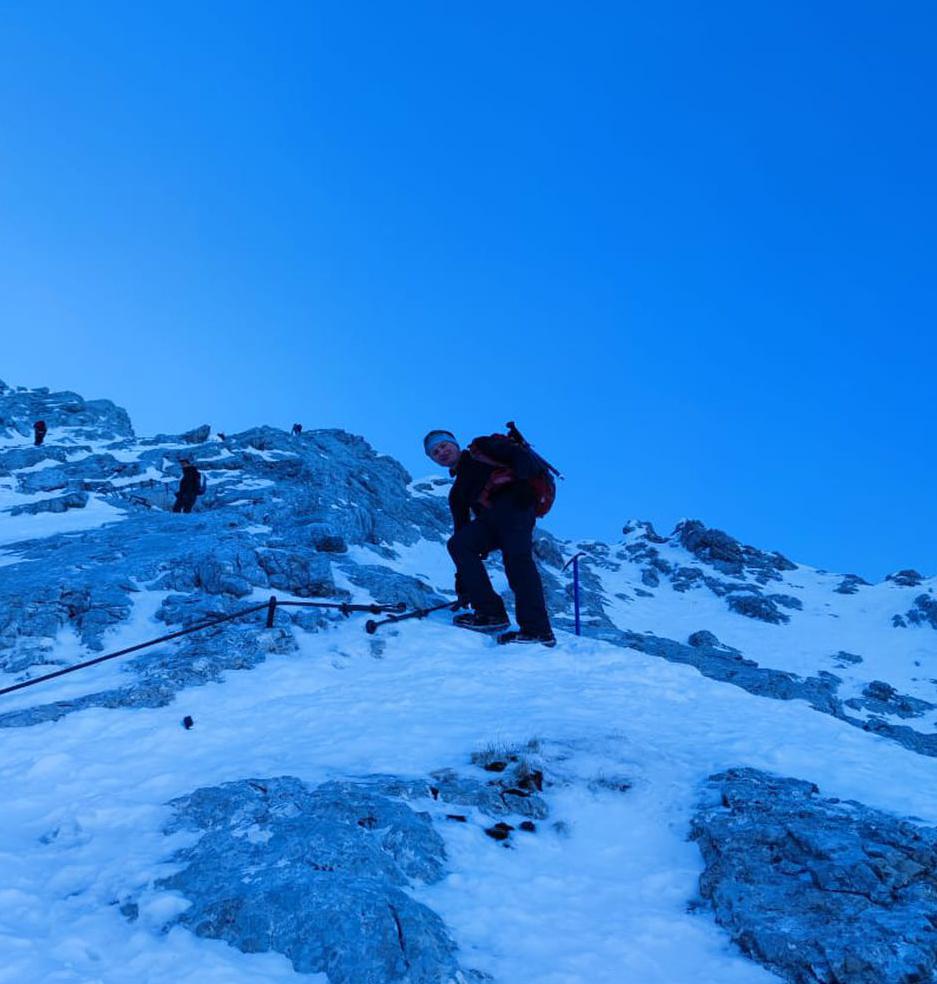
Höfats, Raueck, Kreuzeck, Hielesköpfle | 2385m
| Elevation gain |
| Elevation loss |
| Distance |
| Duration |
| Highest altitude |
| Rating |
Route Information
Höfats, Raueck, Kreuzeck, Hielesköpfle Tour. Start and End reachable by bus
Automatic direction calculation (experimental feature, please provide feedback)
By car: Navigate using Google maps
By public transport:
Train station near start point: Oberstdorf (5.7 Km from start point)
Bus stop near start point: Christlessee (406 m from start point)
Bus stop near end point: Spielmannsau, Oberstdorf (5 m from start point)
------
| Technical Difficulty | Very Difficult | |||||||||||
|---|---|---|---|---|---|---|---|---|---|---|---|---|
| Gear | ||||||||||||
| Popularity | 0 | |||||||||||
Route statistics
| Highest point | 2385m | |||||||||||
|---|---|---|---|---|---|---|---|---|---|---|---|---|
| Total gain | 1934m | |||||||||||
| Total loss | 1870m | |||||||||||
| Duration | 09h17m | |||||||||||
| Distance | 18.2Km | |||||||||||
| Rating | 1999 | |||||||||||
Best Season
Forecast
Author