A very demanding but double rewarding tour: you cconquer Alpspitze with a beutiful via ferrata and you have a great downhill ride afterwards!!
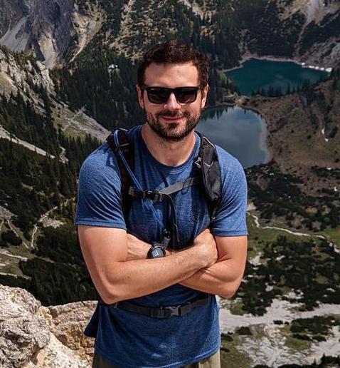
Adventure starts at the Kreuzeckbahn car park and goes along forest paths over ski slopes up over the Kreuzeck and the Hochalm to the Alpspitzbahn mountain station at the Osterfelderkopf (by the way, at 2050 m, the highest point in Germany that can be reached by bike!). Between the Hochalm and the mountain station it is often rough and steep. After about 3 hours of cycling (pushing the bike :)) up the mountain, the route leads to the Alpsitzferrata. You should be equipped with a via ferrata set and of course, sturdy mountain boots. From the summit there is a magnificent panorama to the north. Then descend via the eastern flank to the north face climb. The descent is easier than the Ferrata, but has similarly difficult elements. Back on the bike, you can take another look at the Alspitznordwand and look forward to the 1300 hm ascent ;-) You can also crown the tour with a jump into the Risser See lake.
Note: on nice weekends, the Ferrata always attrackts a lot of climbers, so the tour is more recommended during the week.
Idea found on the website: https://www.gps-tour.info/de/touren/detail.137061.html