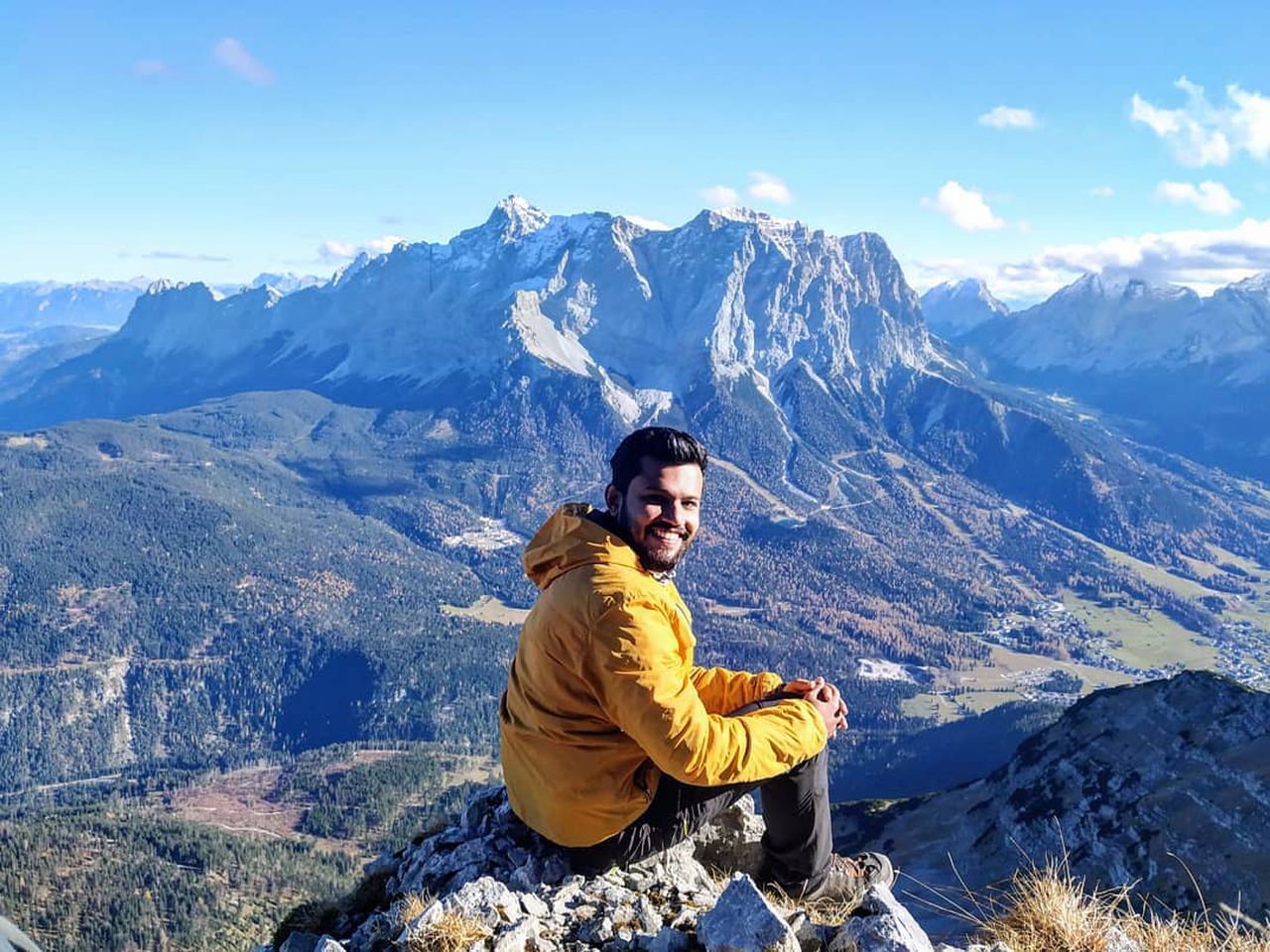
Falscherkogel | 2388m
| Elevation gain |
| Elevation loss |
| Distance |
| Duration |
| Highest altitude |
| Rating |
Route Information
A beautiful hike close to Tschachaun.
Automatic direction calculation (experimental feature, please provide feedback)
By car: Navigate using Google maps
By public transport:
Train station near start point: Heiterwang-Plansee (11.9 Km from start point)
Bus stop near start point: Fallerscheinalpe (1528 m from start point)
------
Automatic hut detection (experimental feature, please provide feedback)
Anhalter Hütte (2038 m):
Wikipedia: Wikipedia page
Location: Google maps
------
| Technical Difficulty | Medium Difficult | |||||||||||
|---|---|---|---|---|---|---|---|---|---|---|---|---|
| Gear | Hiking Boots | |||||||||||
| Popularity | 0 | |||||||||||
Route statistics
| Highest point | 2388m | |||||||||||
|---|---|---|---|---|---|---|---|---|---|---|---|---|
| Total gain | 1272m | |||||||||||
| Total loss | 1272m | |||||||||||
| Duration | 08h43m | |||||||||||
| Distance | 19.0Km | |||||||||||
| Rating | 1559 | |||||||||||
Best Season
Forecast
Author