Bayrischzell - Rotwand - Spitzingsee | 1884m
| Elevation gain |
| Elevation loss |
| Distance |
| Duration |
| Highest altitude |
| Rating |
Route Information
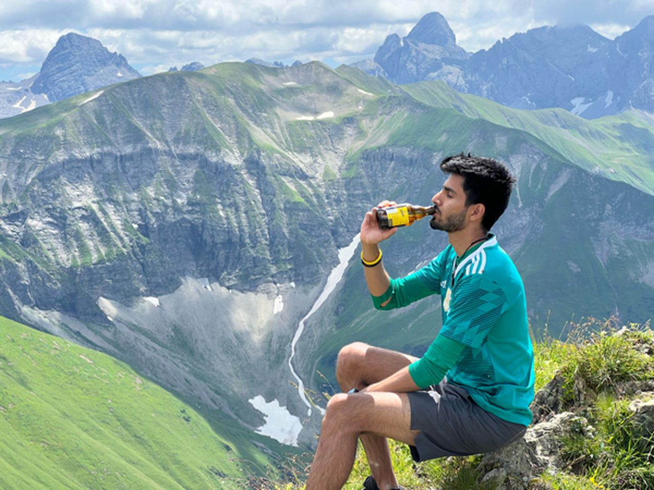
Overall relaxing hike. Starting from Bayrischzell to Soinsee, followed by a bit of steep ascent from Miesing-sattel to Rotwand. Easier path to Taubenstein, which invloves a bit of scrambling, then continuing to Taubensteinalm, and down to Spitzingsee for a swim.
Automatic direction calculation (experimental feature, please provide feedback)
By car: Navigate using Google maps
By public transport:
Train station near start point: Bayrischzell (0.0 Km from start point)
Bus stop near start point: Bayrischzell Bahnhof (81 m from start point)
Train station near end point: Fischhausen-Neuhaus (4.6 Km from end point)
Bus stop near end point: Spitzing Taubensteinbahn (43 m from end point)
Bus stop near end point: Spitzingsattel (696 m from end point)
------
| Technical Difficulty | Medium | |||||||||||
|---|---|---|---|---|---|---|---|---|---|---|---|---|
| Gear | Hiking Boots , Hiking Poles | |||||||||||
| Popularity | 5 | |||||||||||
Route statistics
| Highest point | 1884m | |||||||||||
|---|---|---|---|---|---|---|---|---|---|---|---|---|
| Total gain | 1298m | |||||||||||
| Total loss | 1005m | |||||||||||
| Duration | 07h12m | |||||||||||
| Distance | 17.2Km | |||||||||||
| Rating | 1341 | |||||||||||
Best Season
Forecast
Author