Trettachspitze Traverse | 2595m
| Elevation gain |
| Elevation loss |
| Distance |
| Duration |
| Highest altitude |
| Rating |
Route Information
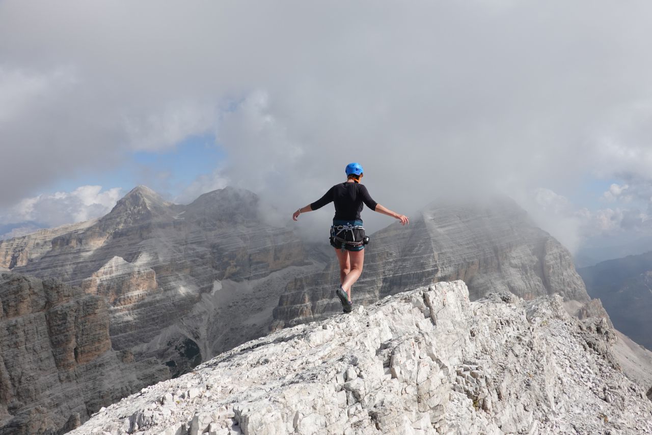
Up to grade III climbing up, II+ down.
Automatic direction calculation (experimental feature, please provide feedback)
By car: Navigate using Google maps
By public transport:
Train station near start point: Oberstdorf (6.8 Km from start point)
Bus stop near start point: Fellhornbahn Brücke (134 m from start point)
------
Automatic hut detection (experimental feature, please provide feedback)
Waltenberger-Haus (2085 m):
Website: Homepage
Phone: +49832165621
Location: Google maps
------
You may want to carry a 50m rope to abseil. There are no bolts during the ascent but a few rings on the descent to abseil from.
| Technical Difficulty | Medium Difficult | |||||||||||
|---|---|---|---|---|---|---|---|---|---|---|---|---|
| Gear | Helmet , Ropes | |||||||||||
| Popularity | 1 | |||||||||||
Route statistics
| Highest point | 2595m | |||||||||||
|---|---|---|---|---|---|---|---|---|---|---|---|---|
| Total gain | 1645m | |||||||||||
| Total loss | 1645m | |||||||||||
| Duration | 09h58m | |||||||||||
| Distance | 21.9Km | |||||||||||
| Rating | 1711 | |||||||||||
Best Season
Forecast
Author