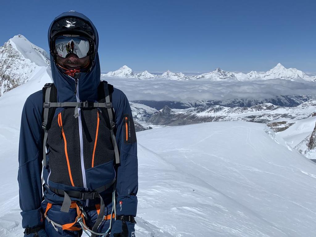
Die vier Wege der Zugspitze | 2962m
| Elevation gain |
| Elevation loss |
| Distance |
| Duration |
| Highest altitude |
| Rating |
Route Information
https://www.youtube.com/watch?v=pRCN6jogcq8&t=226s
Automatic direction calculation (experimental feature, please provide feedback)
By car: Navigate using Google maps
By public transport:
Train station near start point: Hammersbach (0.0 Km from start point)
Bus stop near start point: Grainau, Höllentalstraße (684 m from start point)
Bus stop near start point: Grainau, Schwarzenkopfweg (949 m from start point)
Train station near end point: Kainzenbad (0.2 Km from end point)
Bus stop near end point: Skistadion (228 m from end point)
Bus stop near end point: Alpenstraße (645 m from end point)
------
Automatic hut detection (experimental feature, please provide feedback)
Höllentaleingangshütte (1045 m):
Website: Homepage
Phone: +4988218895
Location: Google maps
Höllentalangerhütte (1387 m):
Website: Homepage
Phone: +49 163 5542274
Wikipedia: Wikipedia page
Location: Google maps
Münchner Haus (2959 m):
Website: Homepage
Phone: +49 8821 2901
Location: Google maps
Knorrhütte (2052 m):
Phone: +4988212905
Location: Google maps
Ehrwalder Alm (1502 m):
Location: Google maps
Wiener-Neustädter-Hütte (2209 m):
Website: Homepage
Phone: 06764770925
Wikipedia: Wikipedia page
Location: Google maps
Reintalangerhütte (1370 m):
Phone: +49-(0)8821-7089743
Location: Google maps
------
| Technical Difficulty | Difficult | |||||||||||
|---|---|---|---|---|---|---|---|---|---|---|---|---|
| Gear | ||||||||||||
| Popularity | 6 | |||||||||||
Route statistics
| Highest point | 2962m | |||||||||||
|---|---|---|---|---|---|---|---|---|---|---|---|---|
| Total gain | 4617m | |||||||||||
| Total loss | 4651m | |||||||||||
| Duration | 37h04m | |||||||||||
| Distance | 56.8Km | |||||||||||
| Rating | 4374 | |||||||||||
Best Season
Forecast
Author