Steinlingkapelle auf der Kampenwand | 1451m
| Elevation gain |
| Elevation loss |
| Distance |
| Duration |
| Highest altitude |
| Rating |
Route Information
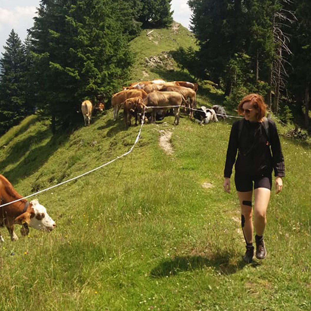
A hike in the Chiemgauer Alpen, accessible by public transport. The route leads to a chapel with a beautiful views of the mountains and the Kampenwand.
Automatic direction calculation (experimental feature, please provide feedback)
By car: Navigate using Google maps
By public transport:
Train station near start point: Aschau (0.0 Km from start point)
Bus stop near start point: Aschau Bahnhof (107 m from start point)
Ref : 9496 RVO, 9502 RVO
------
| Technical Difficulty | Easy | |||||||||||
|---|---|---|---|---|---|---|---|---|---|---|---|---|
| Gear | ||||||||||||
| Popularity | 0 | |||||||||||
Route statistics
| Highest point | 1451m | |||||||||||
|---|---|---|---|---|---|---|---|---|---|---|---|---|
| Total gain | 849m | |||||||||||
| Total loss | 849m | |||||||||||
| Duration | 05h15m | |||||||||||
| Distance | 14.3Km | |||||||||||
| Rating | 1039 | |||||||||||
Best Season
Forecast
Author