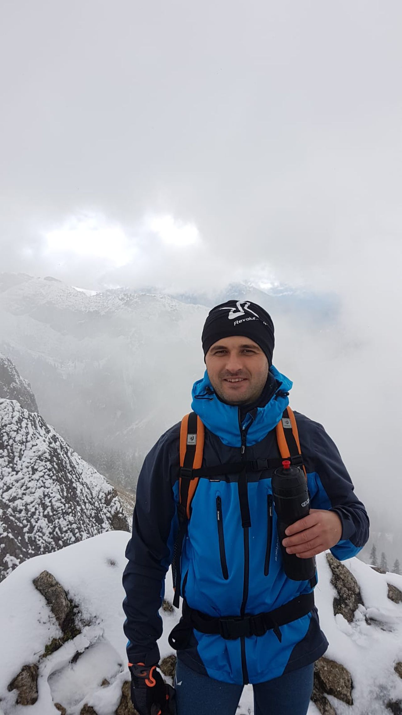
Rauhkopf und Taubenstein | 1692m
| Elevation gain |
| Elevation loss |
| Distance |
| Duration |
| Highest altitude |
| Rating |
Route Information
(No description available)
Automatic direction calculation (experimental feature, please provide feedback)
By car: Navigate using Google maps
By public transport:
Train station near start point: Fischhausen-Neuhaus (3.9 Km from start point)
Bus stop near start point: Spitzingsattel (37 m from start point)
Bus stop near start point: Josefstal Abzweig Tanzeckstraße (2668 m from start point)
------
Automatic hut detection (experimental feature, please provide feedback)
Schönfeldhütte (1410 m):
Website: Homepage
Phone: +4980267496
Wikipedia: Wikipedia page
Location: Google maps
Obere Maxlraineralm (1520 m):
Website: Homepage
Phone: +4980267382
Opening hours: We-Su 11:00-16:00; Mo,Tu off
Location: Google maps
Albert-Link-Hütte (1053 m):
Phone: +49802671264
Wikipedia: Wikipedia page
Location: Google maps
------
| Technical Difficulty | Medium | |||||||||||
|---|---|---|---|---|---|---|---|---|---|---|---|---|
| Gear | ||||||||||||
| Popularity | 2 | |||||||||||
Route statistics
| Highest point | 1692m | |||||||||||
|---|---|---|---|---|---|---|---|---|---|---|---|---|
| Total gain | 699m | |||||||||||
| Total loss | 732m | |||||||||||
| Duration | 03h33m | |||||||||||
| Distance | 9.4Km | |||||||||||
| Rating | 830 | |||||||||||
Best Season
Forecast
Author