Garmisch to Lago di Garda mostly along L1 | 3299m
| Elevation gain |
| Elevation loss |
| Distance |
| Duration |
| Highest altitude |
| Rating |
Route Information
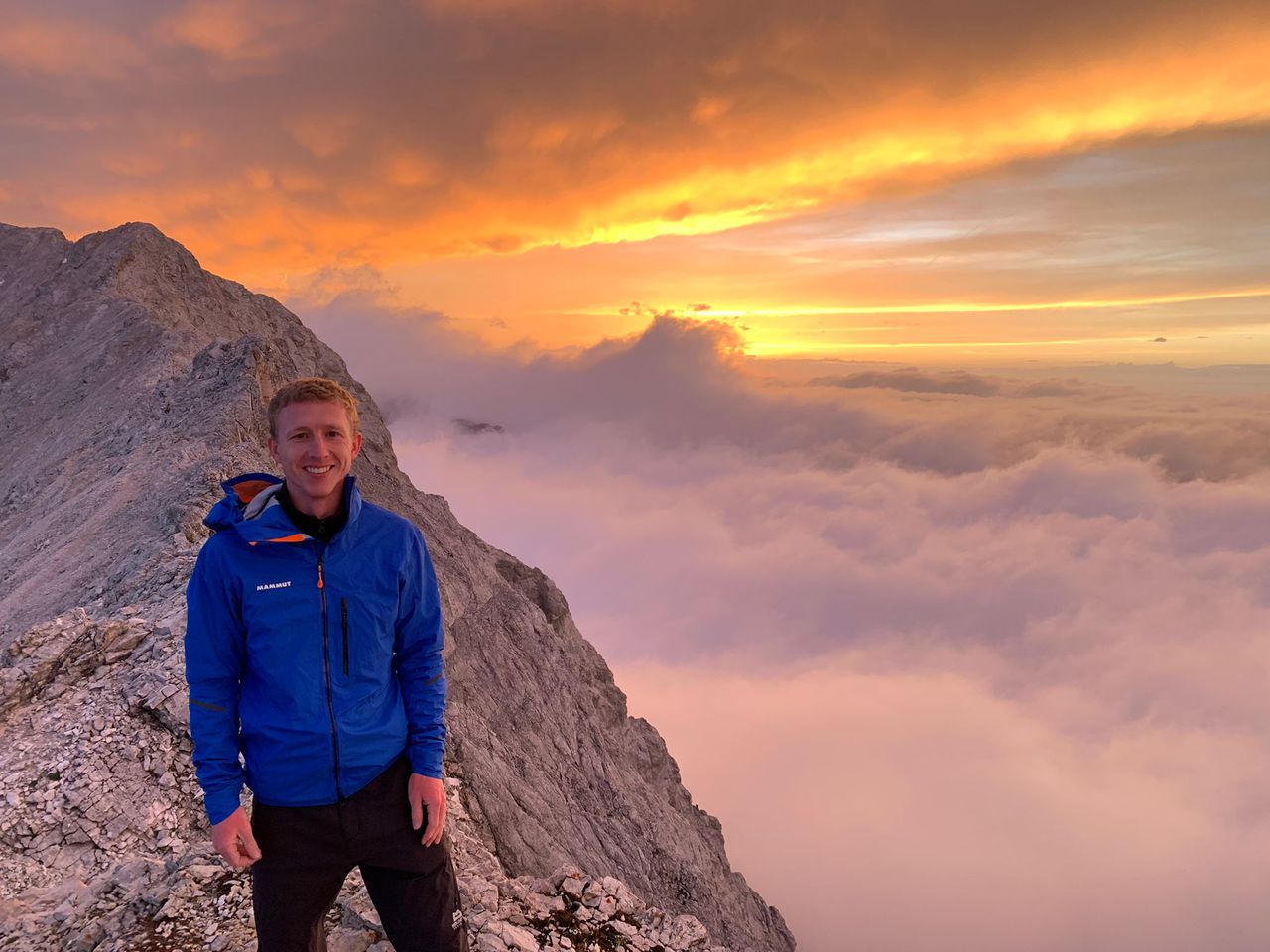
Hiking along the L1 route is probably one of the best routes for crossing the alps if you like hiking on pristine trails combined with a bit of scrambling and without big crowds. For more details on the L1 route please see for example [1].
[1] http://www.alpenquerung.info/Alpenueberquerung/L1/Uebersicht-der-Etappen-auf-dem-L1
Automatic direction calculation (experimental feature, please provide feedback)
By car: Navigate using Google maps
By public transport:
Train station near start point: Garmisch-Partenkirchen (0.1 Km from start point)
Bus stop near start point: Achenfeldstraße (377 m from start point)
Bus stop near start point: Chamonixstraße (383 m from start point)
Train station near end point: Domegliara (8.7 Km from end point)
------
Automatic hut detection (experimental feature, please provide feedback)
AGV Drehmöser Hutte
Location: Google maps
Kreuzeckhaus (1652 m):
Website: Homepage
Phone: +49 8821 2202
Wikipedia: Wikipedia page
Location: Google maps
Barbarahaus (1652 m):
Location: Google maps
Münchner Haus (2959 m):
Website: Homepage
Phone: +49 8821 2901
Location: Google maps
Knorrhütte (2052 m):
Phone: +4988212905
Location: Google maps
Steinernes Hüttl (1925 m):
Website: Homepage
Location: Google maps
Tillfussalm
Website: Homepage
Location: Google maps
Straßberghaus (1191 m):
Location: Google maps
Stamser Alm (1873 m):
Location: Google maps
Dortmunder Hütte (1950 m):
Website: Homepage
Phone: +43 52395202
Wikipedia: Wikipedia page
Location: Google maps
Schweinfurter Hütte (2028 m):
Website: Homepage
Phone: +43 5255 50029
Wikipedia: Wikipedia page
Location: Google maps
Winnebachseehütte (2362 m):
Website: Homepage
Phone: +43 5253 5197
Wikipedia: Wikipedia page
Location: Google maps
Sulztalalm (1898 m):
Location: Google maps
Amberger Hütte (2135 m):
Wikipedia: Wikipedia page
Location: Google maps
Ramolhaus (3006 m):
Wikipedia: Wikipedia page
Location: Google maps
Martin-Busch-Hütte (2501 m):
Website: Homepage
Phone: +43 5254 8130
Wikipedia: Wikipedia page
Location: Google maps
Schöne Aussicht Hütte - Rifugio Bella Vista (2842 m):
Website: Homepage
Phone: +39 0473 662140
Wikipedia: Wikipedia page
Location: Google maps
Lyfialm
Location: Google maps
Zufallhütte - Rifugio Nino Corsi (2264 m):
Website: Homepage
Phone: +39 0473 744 785
Wikipedia: Wikipedia page
Location: Google maps
Martellerhütte - Rifugio Martello (2610 m):
Wikipedia: Wikipedia page
Location: Google maps
Rifugio Guido Larcher al Cevedale (2608 m):
Opening hours: Jun 20-Sep 20
Wikipedia: Wikipedia page
Location: Google maps
Rifugio Angelino Bozzi (2478 m):
Website: Homepage
Phone: +39 0364 900152
Opening hours: Jun 20 - Sep 20
Wikipedia: Wikipedia page
Location: Google maps
Rifugio Giuseppe Garibaldi (2548 m):
Website: Homepage
Phone: +39 0364 906209
Opening hours: Jun 20 - Sep 20
Wikipedia: Wikipedia page
Location: Google maps
Rifugio Sandro Occhi allAviolo (1940 m):
Website: Homepage
Location: Google maps
Rifugio Franco Tonolini (2467 m):
Website: Homepage
Phone: +39 0364 71181
Opening hours: fron June to September
Wikipedia: Wikipedia page
Location: Google maps
Rifugio Baitone (2281 m):
Website: Homepage
Phone: +39 0364 779760
Opening hours: Aperto da maggio a ottobre
Wikipedia: Wikipedia page
Location: Google maps
Rifugio Serafino Gnutti (2183 m):
Website: Homepage
Phone: +39 0364 72241
Opening hours: Jun 15 - Sep 30
Wikipedia: Wikipedia page
Location: Google maps
Rifugio Paolo Prudenzini (2226 m):
Website: Homepage
Phone: +39 0364 634578
Opening hours: open from June to September.
Wikipedia: Wikipedia page
Location: Google maps
Rifugio Baita Adamè (2106 m):
Phone: +39 0364 622126
Opening hours: jun - aug
Location: Google maps
Rifugio Città di Lissone (2013 m):
Website: Homepage
Phone: +39 0364 638296
Opening hours: Jun 1-Sep 30
Wikipedia: Wikipedia page
Location: Google maps
Rifugio Maria e Franco Lomini (2572 m):
Website: Homepage
Phone: +39 0364 634372
Opening hours: Open from June to September
Wikipedia: Wikipedia page
Location: Google maps
Rifugio Nino Pernici (1600 m):
Website: Homepage
Phone: +39 0464 505090
Location: Google maps
Capanna Caduti del Monte Baldo
Location: Google maps
Rifugio Altissimo Damiano Chiesa (2059 m):
Website: Homepage
Phone: +39 0464 867130
Opening hours: Jun 20-Sep 20
Location: Google maps
La Capannina
Location: Google maps
Rifugio Telegrafo, G. Barana (2147 m):
Phone: +39 045 7731797
Location: Google maps
Rifugio G. Chierego (1905 m):
Website: Homepage
Phone: +39 348 8916235
Location: Google maps
Fiori del Baldo (1850 m):
Phone: +39 045 6862477
Location: Google maps
------
| Technical Difficulty | Very Difficult | |||||||||||
|---|---|---|---|---|---|---|---|---|---|---|---|---|
| Gear | ||||||||||||
| Popularity | 1 | |||||||||||
Route statistics
| Highest point | 3299m | |||||||||||
|---|---|---|---|---|---|---|---|---|---|---|---|---|
| Total gain | 32164m | |||||||||||
| Total loss | 32809m | |||||||||||
| Duration | 989h22m | |||||||||||
| Distance | 434.2Km | |||||||||||
| Rating | 13957 | |||||||||||
Best Season
Forecast
Author