Gipfeltour Ackerl- & Maukspitze | 2329m
| Elevation gain |
| Elevation loss |
| Distance |
| Duration |
| Highest altitude |
| Rating |
Route Information
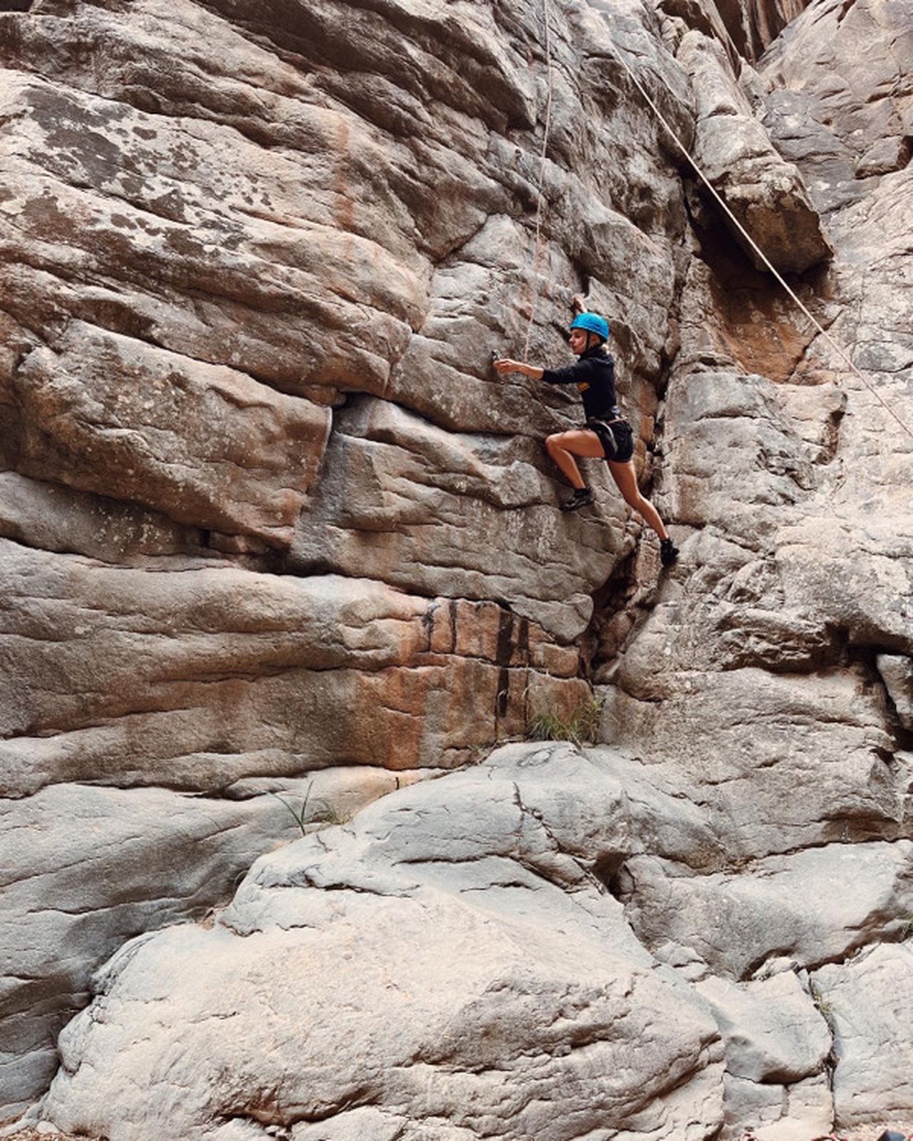
Prerequisite: no fear of heights, surefootedness, as well as alpine experience and very good physical condition are absolutely necessary! HELM (danger of falling rocks)
Ascent:
From the Tannbichl hiking starting point, follow the forest path 826 in the direction of Obere Regalm. Then on alpine meadows up to the Ackerlhütte mountain hut (1,455 m) and continue through mountain pines, across alpine meadows and a gravel field uphill to the near foot of the wall. From here you reach the Niedersessel (snow field until late summer) in easy climbing at 1st degree of difficulty. Follow the climb along the left edge of the cirque to its highest point. Over a good 20 m high, steep rock face (secured with some footholds) and a steep gully you reach the Hochsessel. You climb further over exposed traverses in many hairpin bends and partly easy climbing higher and over the airy ridge to the summit of the Ackerlspitze (2,329 m), the second highest peak of the Wilder Kaiser. After resting on the summit, we first return to the saddle between Ackerlspitze and Maukspitze and continue along the ridge (short exposed section) to Maukspitze (2,231 m - approx. 1 hour from Ackerlspitze).
Descent:
From the summit, descend via the steep, rugged trail to the Niedersessel. Return via the steep ascent and the same path back to the valley.
Climbing passages of difficulty grade I to II in the ascent and descent as well as only sparse belays. Often snowfields can be expected until well into the summer.
(https://www.wilderkaiser.info/en/tours/ackerlspitze-and-maukspitze-summit-tour.html
Automatic direction calculation (experimental feature, please provide feedback)
By car: Navigate using Google maps
By public transport:
Train station near start point: Oberndorf in Tirol (5.3 Km from start point)
Bus stop near start point: Going a. W. K. Dorf (1368 m from start point)
Bus stop near start point: Thurnbichlkreizung (1408 m from start point)
------
Obere Regalm
Ackerlhütte
Helmet
no fear of heights, surefootedness, as well as alpine experience and very good physical condition are absolutely necessary! HELM (danger of falling rocks)
| Technical Difficulty | Difficult | |||||||||||
|---|---|---|---|---|---|---|---|---|---|---|---|---|
| Gear | Hiking Boots , Hiking Poles , Helmet , Gloves | |||||||||||
| Popularity | 1 | |||||||||||
Route statistics
| Highest point | 2329m | |||||||||||
|---|---|---|---|---|---|---|---|---|---|---|---|---|
| Total gain | 1491m | |||||||||||
| Total loss | 1491m | |||||||||||
| Duration | 06h32m | |||||||||||
| Distance | 13.9Km | |||||||||||
| Rating | 1327 | |||||||||||
Best Season
Forecast
Author