Haller Zunterkopf | 1966m
| Elevation gain |
| Elevation loss |
| Distance |
| Duration |
| Highest altitude |
| Rating |
Route Information
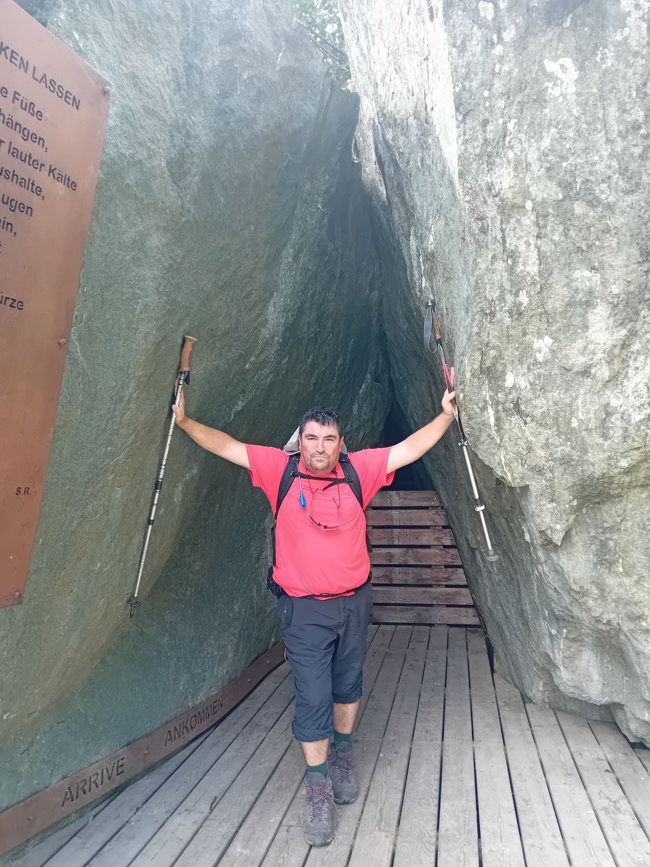
Medium Hike next to Innsbruck with south Orientation
Automatic direction calculation (experimental feature, please provide feedback)
By car: Navigate using Google maps
By public transport:
Train station near start point: Hall-Thaur (2.7 Km from start point)
Bus stop near start point: Thaur Isserbrücke (804 m from start point)
Bus stop near start point: Thaur Mitte (837 m from start point)
------
Automatic hut detection (experimental feature, please provide feedback)
Thaurer Alm (1464 m):
Website: Homepage
Location: Google maps
------
| Technical Difficulty | Difficult | |||||||||||
|---|---|---|---|---|---|---|---|---|---|---|---|---|
| Gear | ||||||||||||
| Popularity | 1 | |||||||||||
Route statistics
| Highest point | 1966m | |||||||||||
|---|---|---|---|---|---|---|---|---|---|---|---|---|
| Total gain | 1325m | |||||||||||
| Total loss | 1325m | |||||||||||
| Duration | 05h49m | |||||||||||
| Distance | 12.6Km | |||||||||||
| Rating | 1315 | |||||||||||
Best Season
Forecast
Author