[Italy] Cima Cane and Monte del Pascolo (T3) | 2423m
| Elevation gain |
| Elevation loss |
| Distance |
| Duration |
| Highest altitude |
| Rating |
Route Information
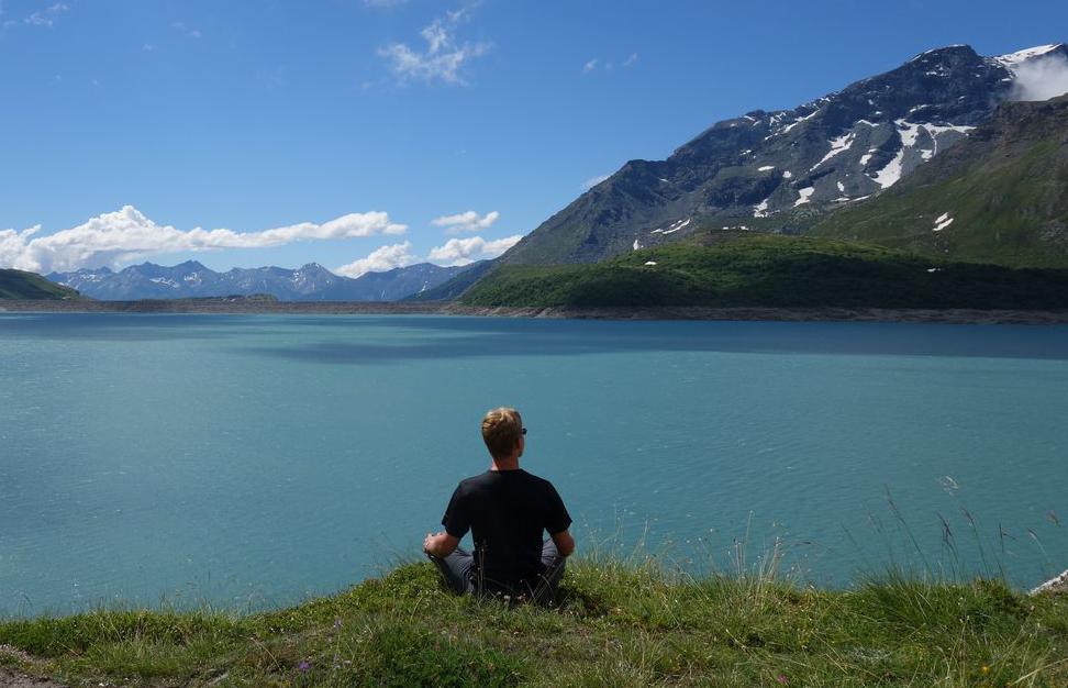
All year round easy hike if you want to use a half day on the way from or back to Munich actively. I would classify that as an entry-level T3, definitely not T1. Nice hut with good-looking food, fairly priced in comparison with the North.
Automatic direction calculation (experimental feature, please provide feedback)
By car: Navigate using Google maps
By public transport:
Train station near start point: Brixen - Bressanone (1.5 Km from start point)
------
Automatic hut detection (experimental feature, please provide feedback)
Radlseehütte - Rifugio Lago Rodella
Wikipedia: Wikipedia page
Location: Google maps
------
| Technical Difficulty | Very Easy | |||||||||||
|---|---|---|---|---|---|---|---|---|---|---|---|---|
| Gear | ||||||||||||
| Popularity | 1 | |||||||||||
Route statistics
| Highest point | 2423m | |||||||||||
|---|---|---|---|---|---|---|---|---|---|---|---|---|
| Total gain | 1661m | |||||||||||
| Total loss | 1667m | |||||||||||
| Duration | 07h48m | |||||||||||
| Distance | 16.7Km | |||||||||||
| Rating | 1388 | |||||||||||
Best Season
Forecast
Author