Olpererhütte via Parkplatz Schlegeis to Friesenberghaus und Olpererhütte | 2623m
| Elevation gain |
| Elevation loss |
| Distance |
| Duration |
| Highest altitude |
| Rating |
Route Information
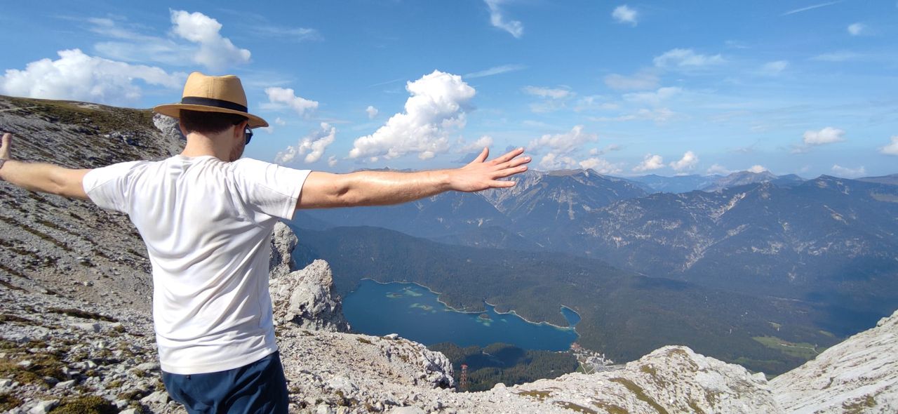
Medium and scenic hike from Schlegeisspeicher over Friesenberghaus to Olpererhütte and back.
There is the famous bridge many instagrammers use. In the offseason there might be a better chance to get a picture within earlier than the regular 20 minutes waiting in the row...
Beware: Schlegeisalpenstraße is closed partially depending on the snow conditions (ref: https://www.schlegeis-speicher.com/schlegeis-alpenstrasse/#Oeffnungszeiten_2022)
Starting at Schlegeisspeicher (1785 hm) to Friesenberghaus (2498 hm) down to Olperer Hütte (2398 hm) back to Schlegeisspeicher Stausee.
Automatic direction calculation (experimental feature, please provide feedback)
By car: Navigate using Google maps
By public transport:
Train station near start point: Brenner - Brennero (14.7 Km from start point)
Bus stop near start point: Schlegeis Stausee (1044 m from start point)
------
Automatic hut detection (experimental feature, please provide feedback)
Dominikus Hütte (1805 m):
Website: Homepage
Phone: +43-664-73296939
Location: Google maps
Friesenberghaus (2498 m):
Website: Homepage
Phone: +43 6767494550
Wikipedia: Wikipedia page
Location: Google maps
Olpererhütte (2389 m):
Website: Homepage
Phone: +43 664 4176566
Wikipedia: Wikipedia page
Location: Google maps
------
Always have a check at bergfex.at for secure mountain weather conditions. In mid of october there is also a good chance having nearly snow free conditions up to 2800 hm.
| Technical Difficulty | Medium | |||||||||||
|---|---|---|---|---|---|---|---|---|---|---|---|---|
| Gear | Hiking Boots , Hiking Poles | |||||||||||
| Popularity | 1 | |||||||||||
Route statistics
| Highest point | 2623m | |||||||||||
|---|---|---|---|---|---|---|---|---|---|---|---|---|
| Total gain | 929m | |||||||||||
| Total loss | 929m | |||||||||||
| Duration | 06h22m | |||||||||||
| Distance | 15.0Km | |||||||||||
| Rating | 1125 | |||||||||||
Best Season
Forecast
Author