Wörner | 2476m
| Elevation gain |
| Elevation loss |
| Distance |
| Duration |
| Highest altitude |
| Rating |
Route Information
https://www.bergtour-online.de/bergtouren/bergtourenalpin/alpineklettertouren/leichteklettertouren/woerner/
Automatic direction calculation (experimental feature, please provide feedback)
By car: Navigate using Google maps
By public transport:
Train station near start point: Mittenwald (2.3 Km from start point)
Bus stop near start point: Partenkirchner Straße (1611 m from start point)
Bus stop near start point: Isar-Seinsbrücke (1812 m from start point)
------
Automatic hut detection (experimental feature, please provide feedback)
Hochlandhütte (1623 m):
Phone: +49 174 9897863
Location: Google maps
------
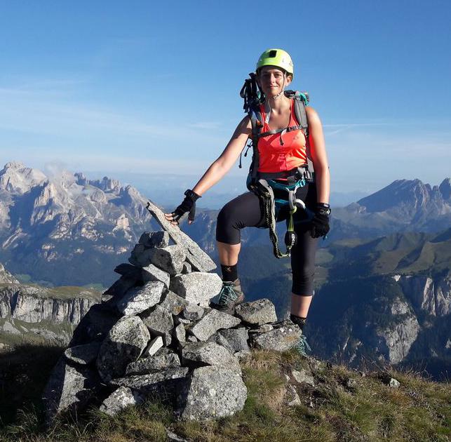
Possible fall of stones, exposed path, absolute sure-footedness required
| Technical Difficulty | Difficult | |||||||||||
|---|---|---|---|---|---|---|---|---|---|---|---|---|
| Gear | Hiking Boots , Helmet , Gloves | |||||||||||
| Popularity | 4 | |||||||||||
Route statistics
| Highest point | 2476m | |||||||||||
|---|---|---|---|---|---|---|---|---|---|---|---|---|
| Total gain | 1519m | |||||||||||
| Total loss | 1519m | |||||||||||
| Duration | 06h37m | |||||||||||
| Distance | 13.7Km | |||||||||||
| Rating | 1377 | |||||||||||
Best Season
Forecast
Author