[Italy] Cima di Quaire - Monte Ganda - Monte Corlo crossing (T3) | 2414m
| Elevation gain |
| Elevation loss |
| Distance |
| Duration |
| Highest altitude |
| Rating |
Route Information
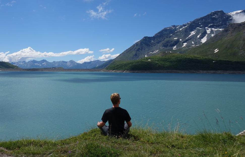
Nice and empty ridge with amazing views. Challenging orientation on the way since the path is not so obvious. Even though it's technically just a T3, experience is required due to the sparsely marked and not overused route. Free parking in the village. Also served by bus going every hour since the place is inhabited.
Automatic direction calculation (experimental feature, please provide feedback)
By car: Navigate using Google maps
By public transport:
Train station near start point: Franzensfeste - Fortezza (14.5 Km from start point)
------
| Technical Difficulty | Easy | |||||||||||
|---|---|---|---|---|---|---|---|---|---|---|---|---|
| Gear | ||||||||||||
| Popularity | 1 | |||||||||||
Route statistics
| Highest point | 2414m | |||||||||||
|---|---|---|---|---|---|---|---|---|---|---|---|---|
| Total gain | 1636m | |||||||||||
| Total loss | 1636m | |||||||||||
| Duration | 11h26m | |||||||||||
| Distance | 25.4Km | |||||||||||
| Rating | 1634 | |||||||||||
Best Season
Forecast
Author