Henrieshuette | 1569m
| Elevation gain |
| Elevation loss |
| Distance |
| Duration |
| Highest altitude |
| Rating |
Route Information
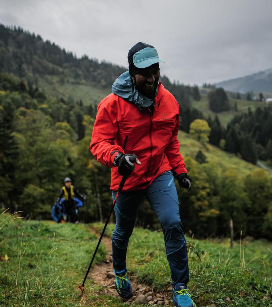
it should be an easy T2 hike
Automatic direction calculation (experimental feature, please provide feedback)
By car: Navigate using Google maps
By public transport:
Train station near start point: Aschau (0.0 Km from start point)
Bus stop near start point: Aschau Bahnhof (87 m from start point)
Ref : 9496 RVO, 9502 RVO
Train station near end point: Brannenburg (0.1 Km from end point)
Bus stop near end point: Brannenburg - Tankstelle (195 m from end point)
Bus stop near end point: Tannerhut (398 m from end point)
------
Automatic hut detection (experimental feature, please provide feedback)
Hochrieshütte (1569 m):
Website: Homepage
Phone: +49 8032 8210
Opening hours: We-Tu off
Location: Google maps
------
| Technical Difficulty | Easy | |||||||||||
|---|---|---|---|---|---|---|---|---|---|---|---|---|
| Gear | ||||||||||||
| Popularity | 0 | |||||||||||
Route statistics
| Highest point | 1569m | |||||||||||
|---|---|---|---|---|---|---|---|---|---|---|---|---|
| Total gain | 1099m | |||||||||||
| Total loss | 1227m | |||||||||||
| Duration | 09h27m | |||||||||||
| Distance | 25.2Km | |||||||||||
| Rating | 1552 | |||||||||||
Best Season
Forecast
Author