Fockenstein - from Bad Wiessee to Lenggries via Aueralm (optional Geierstein) | 1564m
| Elevation gain |
| Elevation loss |
| Distance |
| Duration |
| Highest altitude |
| Rating |
Route Information
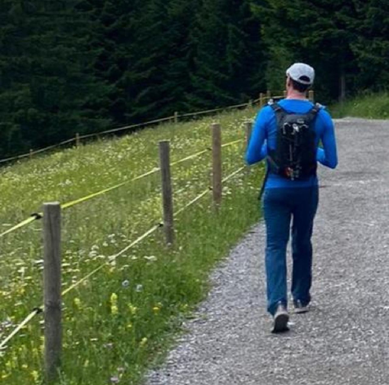
Starting at Bad Wiessee to Fockenstein via Aueralm, it is a nice hike in summer, a bit more demanding in winter, depending on the amount of snow. There is a bit of non exposed "scrambling" at the very top, with good views to Tegernsee, and on a clear day many peaks are visible to the south (west and east), and the flat north too (including Munich at the distance).
From there one has many possibilities direction Lenggries (just to mention some):
- Via Geierstein, which means walking on the north side of Schlagkopf, in winter that part can be tricky with significant snow, so pay attention to avalanche risks.
- One can go the same direction, but at the mountain path decide to continue down on through the forest in the north side of Geierstein, instead of going on top of Geierstein peak.
- Via Hirschtalsattle, following all the valley down to Lenggries (like in this route).
- Via Seekarkreuz, and Lenggrieser Hütte, which will extend significantly the hike, but if the day is good, one has enough energy and time, worth it.
This route is similar to this other HB route, but in reverse.
Automatic direction calculation (experimental feature, please provide feedback)
By car: Navigate using Google maps
By public transport:
Train station near start point: Tegernsee (2.6 Km from start point)
Bus stop near start point: Bad Wiessee Söllbach (19 m from start point)
Train station near end point: Lenggries (0.0 Km from end point)
Bus stop near end point: Lenggries Bahnhof (9 m from end point)
Bus stop near end point: Cafe Strehler (235 m from end point)
------
| Technical Difficulty | Medium | |||||||||||
|---|---|---|---|---|---|---|---|---|---|---|---|---|
| Gear | Hiking Boots , Hiking Poles , Gloves | |||||||||||
| Popularity | 2 | |||||||||||
Route statistics
| Highest point | 1564m | |||||||||||
|---|---|---|---|---|---|---|---|---|---|---|---|---|
| Total gain | 1050m | |||||||||||
| Total loss | 1127m | |||||||||||
| Duration | 06h18m | |||||||||||
| Distance | 17.0Km | |||||||||||
| Rating | 1133 | |||||||||||
Best Season
Forecast
Author