Gaisberg Salzburg | 1288m
| Elevation gain |
| Elevation loss |
| Distance |
| Duration |
| Highest altitude |
| Rating |
Route Information
see also https://www.salzburg.info/PDF/06_reiseinfos/plaene/gaisbergplan.pdf
Automatic direction calculation (experimental feature, please provide feedback)
By car: Navigate using Google maps
By public transport:
Train station near start point: Salzburg Hauptbahnhof (0.0 Km from start point)
Bus stop near start point: Weiserhofstraße (139 m from start point)
Route ref: 22
Bus stop near start point: Salzburg Hauptbahnhof (144 m from start point)
Route ref: 22
------
| Technical Difficulty | Easy | |||||||||||
|---|---|---|---|---|---|---|---|---|---|---|---|---|
| Gear | ||||||||||||
| Popularity | 3 | |||||||||||
Route statistics
| Highest point | 1288m | |||||||||||
|---|---|---|---|---|---|---|---|---|---|---|---|---|
| Total gain | 940m | |||||||||||
| Total loss | 940m | |||||||||||
| Duration | 05h53m | |||||||||||
| Distance | 17.5Km | |||||||||||
| Rating | 1148 | |||||||||||
Best Season
Forecast
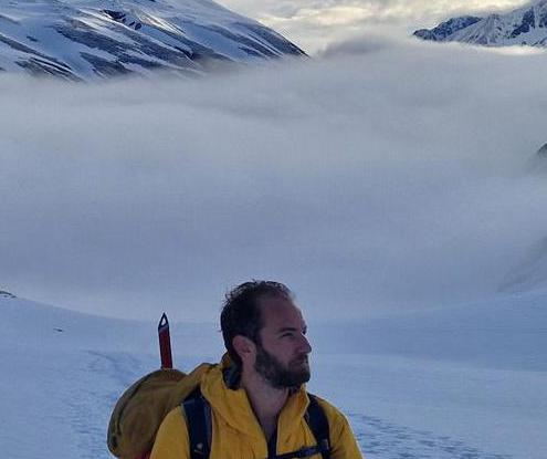
Author