Lenggries - Brauneck - Panorama Höhenweg | 1712m
| Elevation gain |
| Elevation loss |
| Distance |
| Duration |
| Highest altitude |
| Rating |
Route Information
Lenggries to Brauneck.
From the summit station of the cable car we go right uphill to the summit house and to the summit of the Brauneck. The view here is already magnificent. We follow the broad ridge of the Brauneck to the antenna and then downhill, at the signs we follow (from now on always) on Steig direction "Latschenkopf & Großer Höhenweg, 3h". We reach a depression with benches and continue keeping to the right always in the direction of Latschenkopf. The path becomes steeper and more panoramic as time goes by. We reach the Stangeneck with a great view, signs describe the mountains opposite.
We follow the path further and have the Latschenkopf now firmly in view. Moderately ascending, we pass the turnoff to the Vorderer Kirchstein (a short detour is worthwhile) before we reach the summit of the Latschenkopf a few minutes later and enjoy the view.
Automatic peak(s) detection (experimental feature)
The route passes by the following peaks:
- Brauneck (1555 m)
- Stangeneck (1646 m)
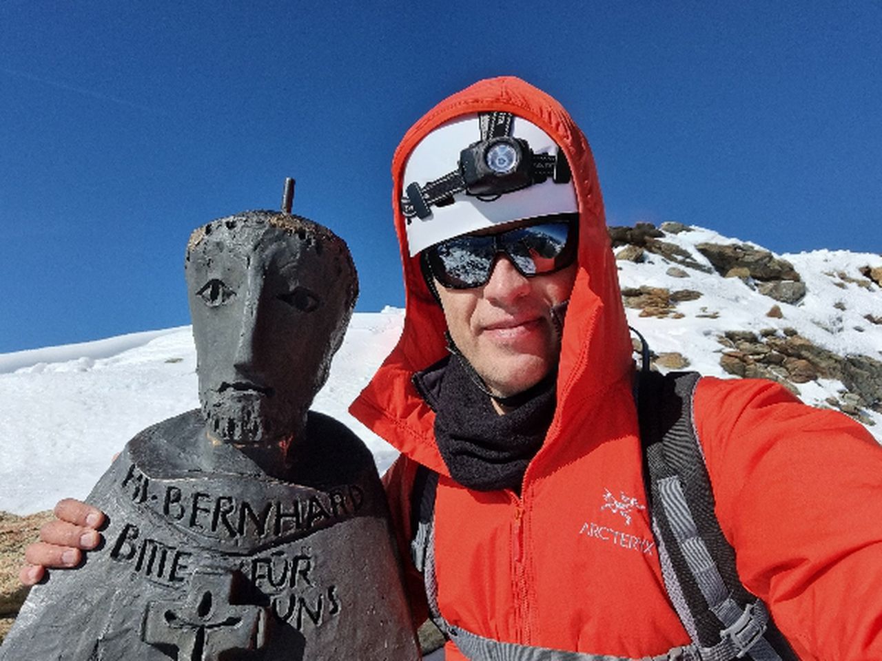
- Latschenkopf (1712 m)
-------
User provided description:
Enter your description ...
Automatic direction calculation (experimental feature, please provide feedback)
By car: Navigate using Google maps
By public transport:
Train station near start point: Lenggries (0.3 Km from start point)
Bus stop near start point: Cafe Strehler (203 m from start point)
Bus stop near start point: Lenggrieser Hof (228 m from start point)
------
Automatic hut detection (experimental feature, please provide feedback)
Brauneck-Gipfelhaus (1540 m):
Website: Homepage
Phone: +49 8042 8786
Wikipedia: Wikipedia page
Location: Google maps
Stie-Alm / Idealhanghütte (1520 m):
Url: Homepage
Phone: +49 8042 2336
Location: Google maps
------
| Technical Difficulty | Easy | |||||||||||
|---|---|---|---|---|---|---|---|---|---|---|---|---|
| Gear | ||||||||||||
| Popularity | 8 | |||||||||||
Route statistics
| Highest point | 1712m | |||||||||||
|---|---|---|---|---|---|---|---|---|---|---|---|---|
| Total gain | 1191m | |||||||||||
| Total loss | 1190m | |||||||||||
| Duration | 07h04m | |||||||||||
| Distance | 18.6Km | |||||||||||
| Rating | 1213 | |||||||||||
Best Season
Forecast
Author