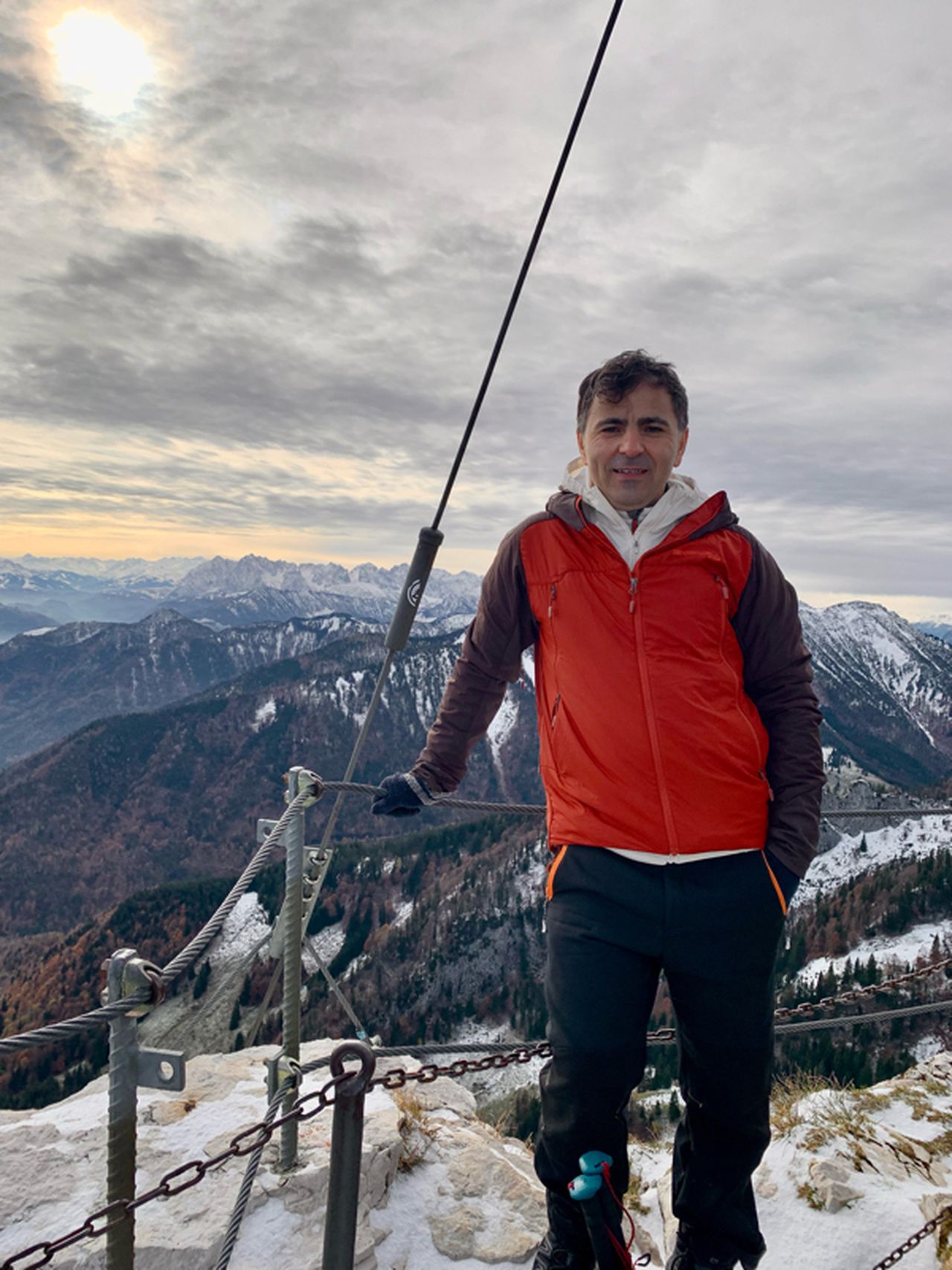
Wendelstein von Bayrischzell | 1838m
| Elevation gain |
| Elevation loss |
| Distance |
| Duration |
| Highest altitude |
| Rating |
Route Information
Schwere Wanderung. Sehr gute Kondition erforderlich. Überwiegend gut begehbare Wege. Trittsicherheit erforderlich. Der Startpunkt der Tour ist mit öffentlichen Verkehrsmitteln erreichbar.
Automatic direction calculation (experimental feature, please provide feedback)
By car: Navigate using Google maps
By public transport:
Train station near start point: Bayrischzell (0.0 Km from start point)
Bus stop near start point: Bayrischzell Bahnhof (85 m from start point)
------
Automatic hut detection (experimental feature, please provide feedback)
Wendelsteinhaus (1724 m):
Website: Homepage
Phone: +49 (0) 80 23/404
Location: Google maps
------
| Technical Difficulty | Easy | |||||||||||
|---|---|---|---|---|---|---|---|---|---|---|---|---|
| Gear | ||||||||||||
| Popularity | 7 | |||||||||||
Route statistics
| Highest point | 1838m | |||||||||||
|---|---|---|---|---|---|---|---|---|---|---|---|---|
| Total gain | 1034m | |||||||||||
| Total loss | 1034m | |||||||||||
| Duration | 04h57m | |||||||||||
| Distance | 12.1Km | |||||||||||
| Rating | 1006 | |||||||||||
Best Season
Forecast
Author