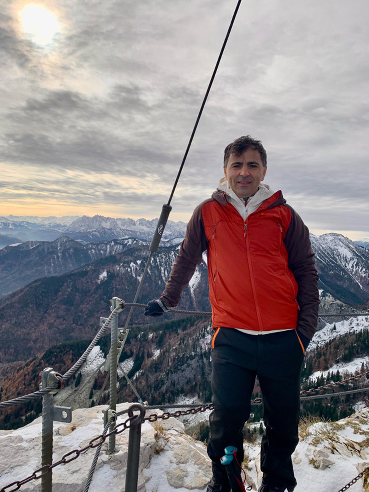
Kramerspitz via Germisch bhf | 1985m
| Elevation gain |
| Elevation loss |
| Distance |
| Duration |
| Highest altitude |
| Rating |
Route Information
Automatic peak(s) detection (experimental feature)
The route passes by the following peaks:
- Kramerspitz (1985 m)
-------
User provided description:
The rout is not clear and you need a GPS. this Hiking is T4 not T3. specially the last part ist dengerious
Automatic direction calculation (experimental feature, please provide feedback)
By car: Navigate using Google maps
By public transport:
Train station near start point: Garmisch-Partenkirchen (0.0 Km from start point)
Bus stop near start point: Achenfeldstraße (325 m from start point)
Bus stop near start point: Chamonixstraße (371 m from start point)
------
| Technical Difficulty | Medium | |||||||||||
|---|---|---|---|---|---|---|---|---|---|---|---|---|
| Gear | ||||||||||||
| Popularity | 1 | |||||||||||
Route statistics
| Highest point | 1985m | |||||||||||
|---|---|---|---|---|---|---|---|---|---|---|---|---|
| Total gain | 1333m | |||||||||||
| Total loss | 1333m | |||||||||||
| Duration | 06h28m | |||||||||||
| Distance | 15.1Km | |||||||||||
| Rating | 1253 | |||||||||||
Best Season
Forecast
Author