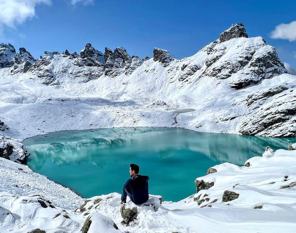
Zuckerhütl (3,507 m) is the highest summit of Stubai and one of the most famous peaks in the area. The views from the summit are breathtaking. The current route is pretty long and requires good stamina to complete the tour in one day. One could take the cable car to reduce the tour significantly or can stay in the bivouac near Jochdohle overnight.
Ascent: From the parking lot follow the forest path to Dresdner Hütte. From there follow the ski slope towards Jochdohle. Then go down on a ski slope towards Doppelsselbahn lower station and continue further down 100m. Now there follow the path towards Pfaffenjoch. From there the path towards the foot of summit is mostly flat. The last 150m to the summit requires scrambling up to grade II. Ice axe and crampons are required for this part.
Descent: Follow the same route as ascent till Pfaffenjoch then continue towards Fernaujoch. From there follow the ski slope all the way to Dresdner Hütte. From there follow the same path as ascent to the parking lot.
Gear: In winter check for avalanche situation and take avalanche kit. Full glacier equipment is required.