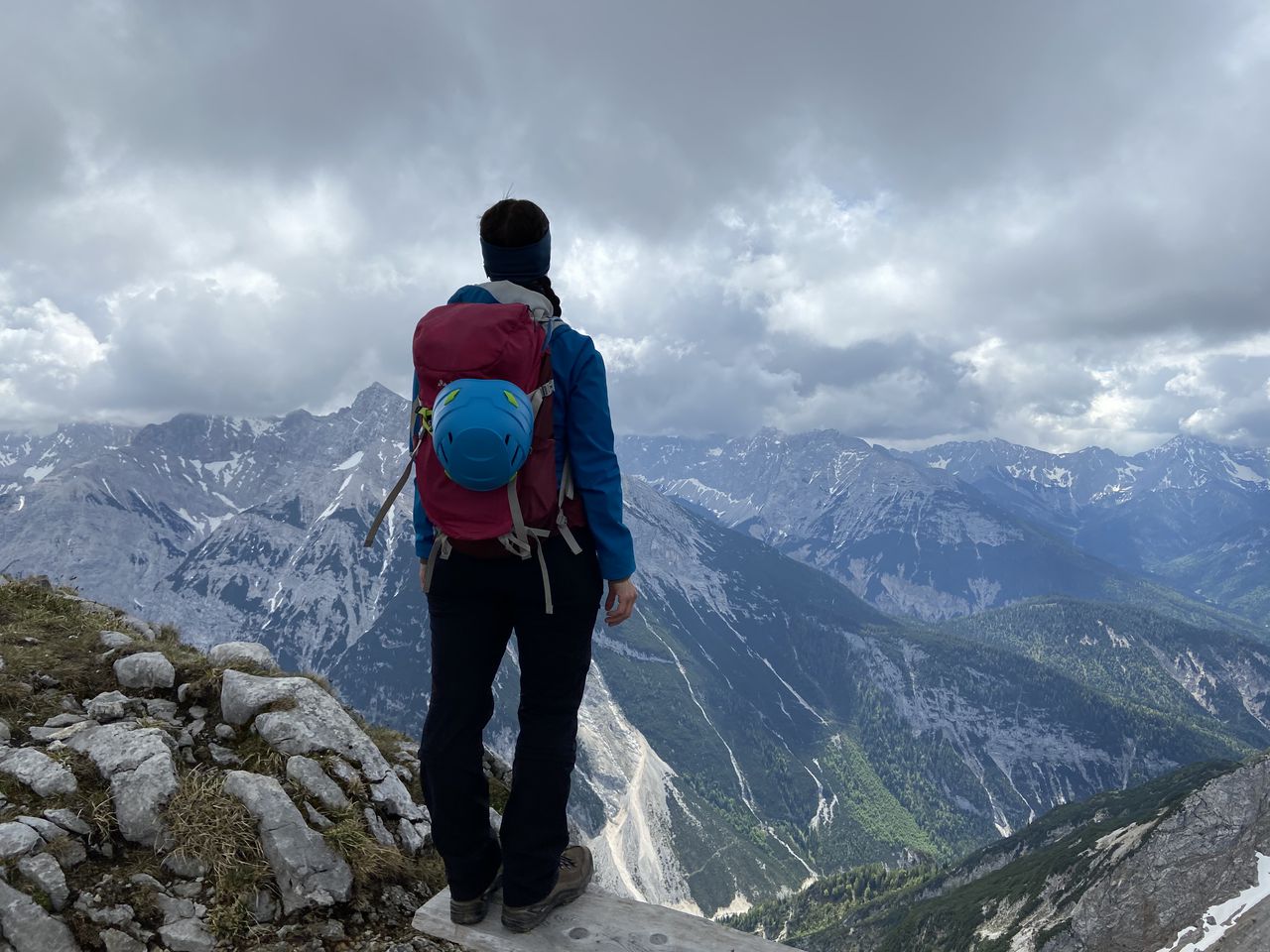
Schafreuter to Sylvensteinsee | 2102m
| Elevation gain |
| Elevation loss |
| Distance |
| Duration |
| Highest altitude |
| Rating |
Route Information
Automatic peak(s) detection (experimental feature)
The route passes by the following peaks:
- Schafreuter (2102 m)
-------
User provided description:
Enter your description ...
Automatic direction calculation (experimental feature, please provide feedback)
By car: Navigate using Google maps
By public transport:
Train station near start point: Mittenwald (15.8 Km from start point)
Bus stop near start point: Aufstieg Tölzer Hütte (39 m from start point)
Train station near end point: Lenggries (12.6 Km from end point)
Bus stop near end point: Fall Abzweig (68 m from end point)
Bus stop near end point: Sylvensteinsee (Kraftwerk) (2591 m from end point)
------
Automatic hut detection (experimental feature, please provide feedback)
Tölzer Hütte
Website: Homepage
Phone: +43 6641801790
Location: Google maps
------
| Technical Difficulty | Medium Difficult | |||||||||||
|---|---|---|---|---|---|---|---|---|---|---|---|---|
| Gear | ||||||||||||
| Popularity | 0 | |||||||||||
Route statistics
| Highest point | 2102m | |||||||||||
|---|---|---|---|---|---|---|---|---|---|---|---|---|
| Total gain | 1311m | |||||||||||
| Total loss | 1436m | |||||||||||
| Duration | 07h59m | |||||||||||
| Distance | 19.3Km | |||||||||||
| Rating | 1330 | |||||||||||
Best Season
Forecast
Author