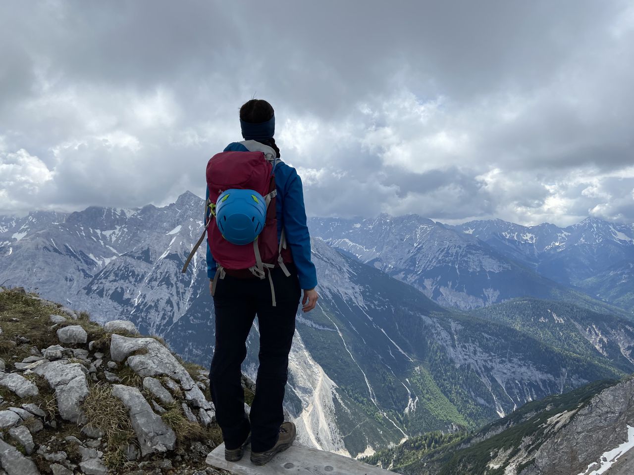
Imberger Horn & Strausberg | 1656m
| Elevation gain |
| Elevation loss |
| Distance |
| Duration |
| Highest altitude |
| Rating |
Route Information
Automatic peak(s) detection (experimental feature)
The route passes by the following peaks:
- Imberger Horn (1656 m)
- Strausberg (1561 m)
-------
User provided description:
Enter your description ...
Automatic direction calculation (experimental feature, please provide feedback)
By car: Navigate using Google maps
By public transport:
Train station near start point: Altstädten (Allgäu) (6.9 Km from start point)
Bus stop near start point: Bad Hindelang, Hennenmühle (538 m from start point)
Bus stop near start point: Bad Oberdorf, Koller (637 m from start point)
------
| Technical Difficulty | Medium | |||||||||||
|---|---|---|---|---|---|---|---|---|---|---|---|---|
| Gear | ||||||||||||
| Popularity | 0 | |||||||||||
Route statistics
| Highest point | 1656m | |||||||||||
|---|---|---|---|---|---|---|---|---|---|---|---|---|
| Total gain | 1020m | |||||||||||
| Total loss | 1020m | |||||||||||
| Duration | 05h32m | |||||||||||
| Distance | 14.8Km | |||||||||||
| Rating | 1060 | |||||||||||
Best Season
Forecast
Author