Hoher Ziegspitz | 1864m
| Elevation gain |
| Elevation loss |
| Distance |
| Duration |
| Highest altitude |
| Rating |
Route Information
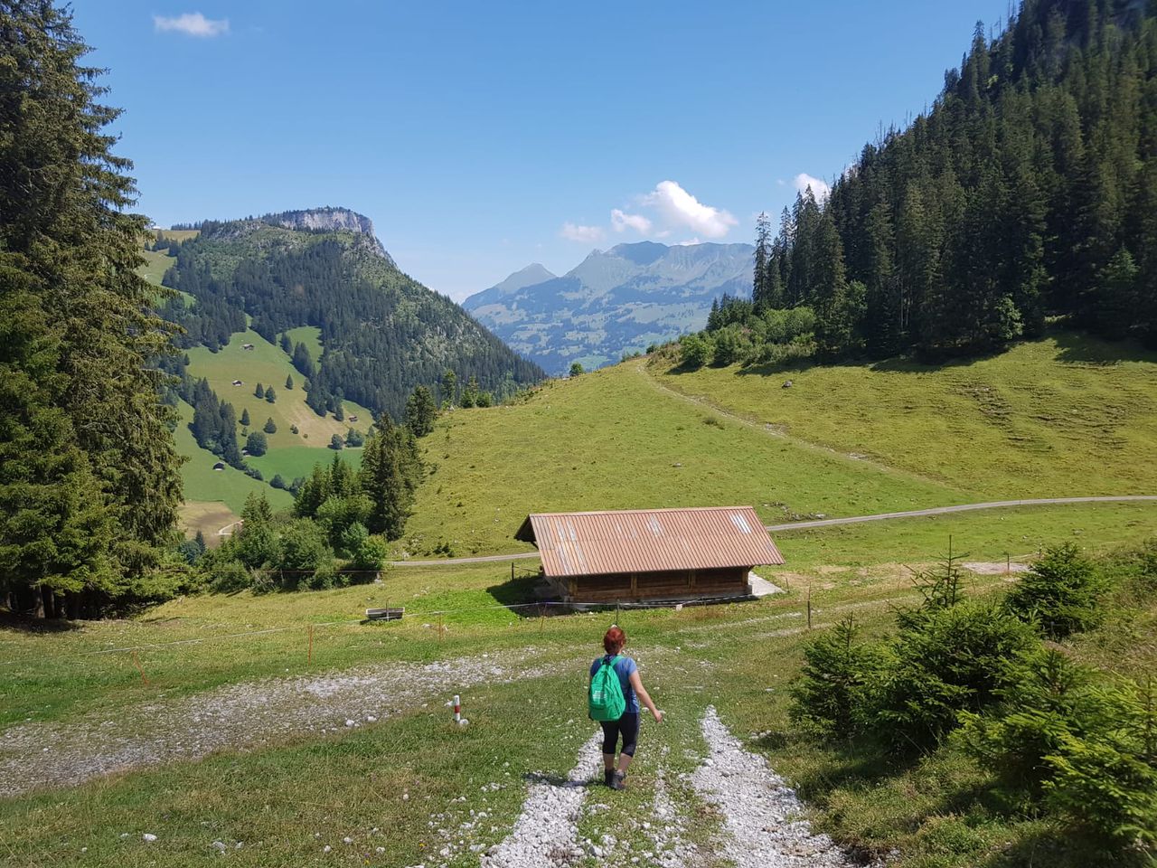
Parkplatz (800m) – Via Kreuzweg – Stepbergalm (1592m, 2h) – Hoher Ziegspitz (1864m, 3h) – Stepbergalm (3:45h)- Via Gelbe Gwänd – Parkplatz (5:30h)
____
Intuitively, from the starting point, it is easier to reach the Gelbe Gwänd path. The tour can be also done in reverse.
There is one hut at the Stepbergalm, that is open from May to October, when there is good weather. They have warm drinks and soups.
It is quite abrupt. People with knie problems or balance issues might benefit from hiking poles and elastic bands.
Waterproof shoes can be useful. There are small water cascades that have to be crossed on the trail.
The trail is stony. Good shoes and stable feet are musts.
Towards the peak, there is an area where you might have to use your hands. Gloves can be useful.
| Technical Difficulty | Medium | |||||||||||
|---|---|---|---|---|---|---|---|---|---|---|---|---|
| Gear | Hiking Boots | |||||||||||
| Popularity | 4 | |||||||||||
Route statistics
| Highest point | 1864m | |||||||||||
|---|---|---|---|---|---|---|---|---|---|---|---|---|
| Total gain | 1291m | |||||||||||
| Total loss | 1287m | |||||||||||
| Duration | 06h59m | |||||||||||
| Distance | 16.2Km | |||||||||||
| Rating | 1240 | |||||||||||
Best Season
Forecast
Author