Brecherspitz Loop from Neuhaus | 1685m
| Elevation gain |
| Elevation loss |
| Distance |
| Duration |
| Highest altitude |
| Rating |
Route Information
Automatic peak(s) detection (experimental feature)
The route passes by the following peaks:
- Brecherspitz (1685 m)
- Brecherspitz Vorgipfel (1643 m)
- Bodenschneid (1669 m)
- Rinnerspitz (1611 m)
- Wasserspitz (1552 m)
- Rainerkopf (1463 m)
-------
User provided description:
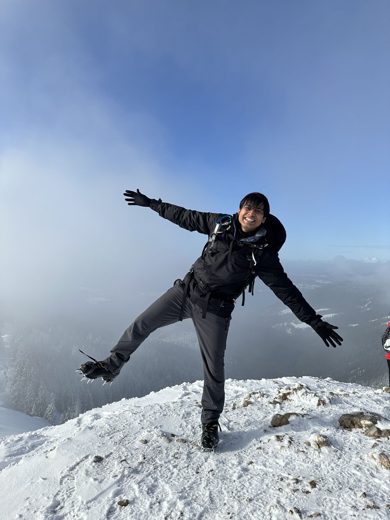
Brecherspitz (1685 m) is one of the popular peaks around Spitzingsee. There are two huts Obere and Untere Firstalm which are open all year around.
Warning: This route should be treated with caution if attempts are made in wet conditions and after recent rainfalls.
Technical difficulty: The hike difficulty is mentioned in the description of the route, please read the blog to understand the requirements for the SAC scale
Things to take with you:
- IDs and Train Tickets (49€ Deutschland Ticket or Bayern Ticket)
- Hiking boots (C-Grade)
- Hiking Poles (Recommended)
- Rain jacket
- Food/drinks for the whole day
- GPX Map / Offline Map
- Good to have DAV membership
For Winter/Snow conditions:
- Crampons/gaiters
Note: Please unjoin the event well in advance, if you don't plan to come. You cannot unjoin the event when it is starting in less than 12 hours.
Disclaimer: Hiking can be dangerous. I am not a mountain guide. Everybody is responsible for her/himself. Make yourself familiar with the route and its requirements. It's recommended to download a map and bring a cell phone and first aid kit for emergencies.
Automatic direction calculation (experimental feature, please provide feedback)
By car: Navigate using Google maps
By public transport:
Train station near start point: Fischhausen-Neuhaus (0.1 Km from start point)
Bus stop near start point: Neuhaus Bahnhof (122 m from start point)
Ref : 1
------
Automatic hut detection (experimental feature, please provide feedback)
Obere Firstalm (1375 m):
Website: Homepage
Phone: +4980267302
Location: Google maps
------
| Technical Difficulty | Medium Difficult | |||||||||||
|---|---|---|---|---|---|---|---|---|---|---|---|---|
| Gear | Hiking Boots , Hiking Poles | |||||||||||
| Popularity | 3 | |||||||||||
Route statistics
| Highest point | 1685m | |||||||||||
|---|---|---|---|---|---|---|---|---|---|---|---|---|
| Total gain | 1367m | |||||||||||
| Total loss | 1367m | |||||||||||
| Duration | 07h24m | |||||||||||
| Distance | 16.6Km | |||||||||||
| Rating | 1374 | |||||||||||
Best Season
Forecast
Author