Scheffauer Hackenköpfe Sonneck | 2260m
| Elevation gain |
| Elevation loss |
| Distance |
| Duration |
| Highest altitude |
| Rating |
Route Information
Automatic peak(s) detection (experimental feature)
The route passes by the following peaks:
- Scheffauer (2111 m)
- Westlicher Hackenkopf (2092 m)
- Mittlerer Hackenkopf (2119 m)
- Östlicher Hackenkopf (2030 m)
- Wiesberg (1998 m)
- Kopfkraxen (2180 m)
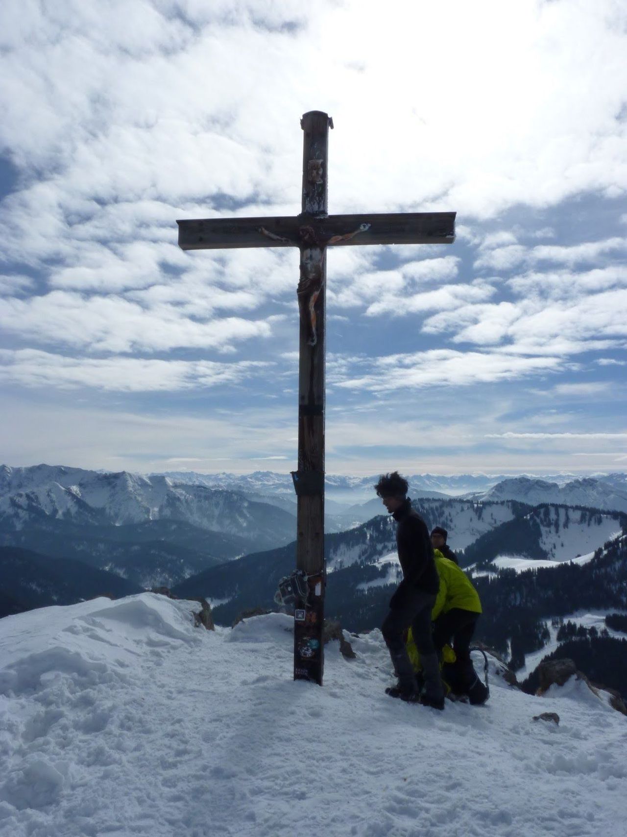
- Sonneck (2260 m)
-------
User provided description:
A variant of #784 that skips Treffauer. Its best to start with a car or do it as a bike + hike.
Automatic direction calculation (experimental feature, please provide feedback)
By car: Navigate using Google maps
By public transport:
Train station near start point: Kufstein (6.2 Km from start point)
Bus stop near start point: Jausenstation Maier (1949 m from start point)
Bus stop near start point: Scheffau a. W. K. Dorf (2577 m from start point)
------
Helmet is necessary as the Hackenkopfen are somewhat brittle.
| Technical Difficulty | Difficult | |||||||||||
|---|---|---|---|---|---|---|---|---|---|---|---|---|
| Gear | ||||||||||||
| Popularity | 1 | |||||||||||
Route statistics
| Highest point | 2260m | |||||||||||
|---|---|---|---|---|---|---|---|---|---|---|---|---|
| Total gain | 1540m | |||||||||||
| Total loss | 1540m | |||||||||||
| Duration | 07h50m | |||||||||||
| Distance | 15.9Km | |||||||||||
| Rating | 1492 | |||||||||||
Best Season
Forecast
Author