Nesselwang Alpspitz | 1575m
| Elevation gain |
| Elevation loss |
| Distance |
| Duration |
| Highest altitude |
| Rating |
Route Information
waterfall falls
steep staircase to canyon
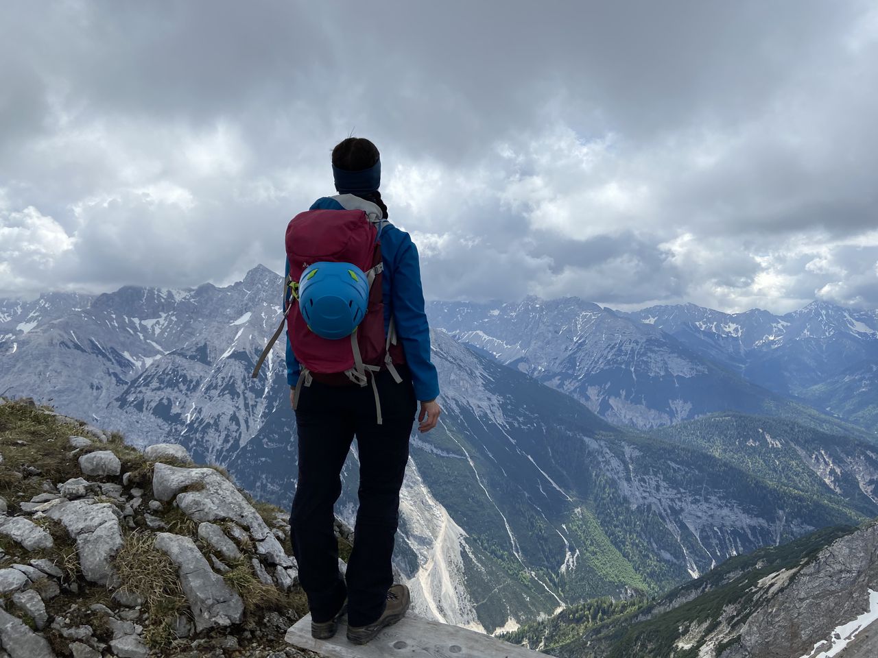
views from Alpspitze
Automatic direction calculation (experimental feature, please provide feedback)
By car: Navigate using Google maps
By public transport:
Train station near start point: Nesselwang (0.1 Km from start point)
Bus stop near start point: Nesselwang Kurapotheke (378 m from start point)
------
Automatic hut detection (experimental feature, please provide feedback)
BergLodge (1500 m):
Website: Homepage
Location: Google maps
------
| Technical Difficulty | Easy | |||||||||||
|---|---|---|---|---|---|---|---|---|---|---|---|---|
| Gear | Hiking Boots | |||||||||||
| Popularity | 3 | |||||||||||
Route statistics
| Highest point | 1575m | |||||||||||
|---|---|---|---|---|---|---|---|---|---|---|---|---|
| Total gain | 708m | |||||||||||
| Total loss | 700m | |||||||||||
| Duration | 03h48m | |||||||||||
| Distance | 10.7Km | |||||||||||
| Rating | 868 | |||||||||||
Best Season
Forecast
Author