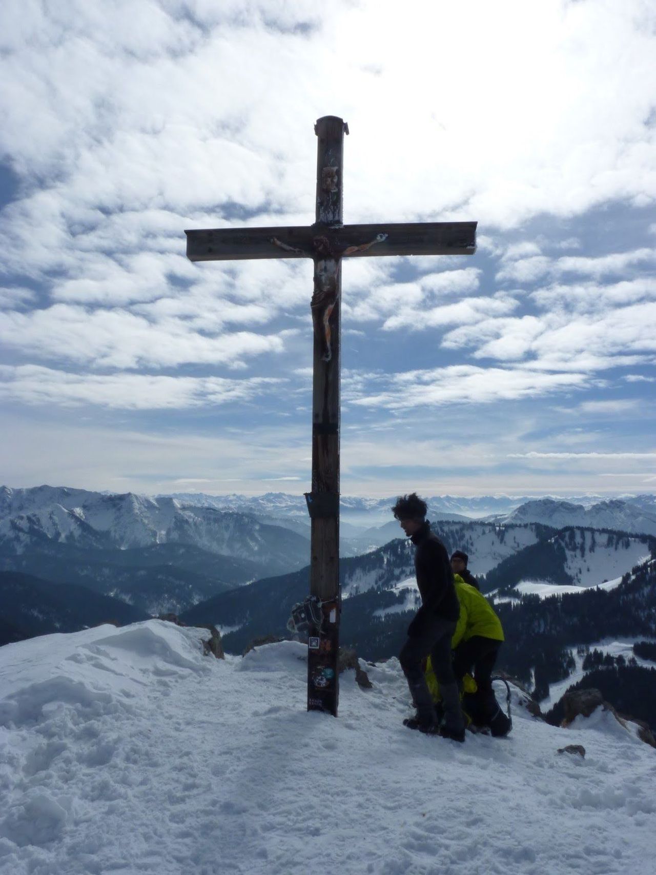
Tajakante and Coburger Steig to the Tajakopf(s) | 2450m
| Elevation gain |
| Elevation loss |
| Distance |
| Duration |
| Highest altitude |
| Rating |
Route Information
The Tajakante via ferrata is one of Austria's most scenic via ferrata.
https://www.bergsteigen.com/touren/klettersteig/tajakante-klettersteig/
https://www.bergsteigen.com/touren/klettersteig/coburger-klettersteig/
Descent via Brendlkar:
https://www.outdooractive.com/de/bergtour/tiroler-zugspitz-arena/ehrwald-seebensee-ueber-hoher-gang-coburger-huette-brendlkar-immenste/1557273/
Automatic direction calculation (experimental feature, please provide feedback)
By car: Navigate using Google maps
By public transport:
Train station near start point: Ehrwald Zugspitzbahn (0.0 Km from start point)
Bus stop near start point: Ehrwald Schmiede (267 m from start point)
Bus stop near start point: Ehrwald Hotel Feneberg (320 m from start point)
------
Automatic hut detection (experimental feature, please provide feedback)
Coburger Hütte (1927 m):
Website: Homepage
Phone: +43 6643254714
Wikipedia: Wikipedia page
Location: Google maps
------
This is a D/E rated via-ferrata (the hard parts are of short lengths though). The descent needs some easy free climbing (UIAA I).
| Technical Difficulty | Very Difficult | |||||||||||
|---|---|---|---|---|---|---|---|---|---|---|---|---|
| Gear | Klettersteig Set , Helmet , Gloves | |||||||||||
| Popularity | 1 | |||||||||||
Route statistics
| Highest point | 2450m | |||||||||||
|---|---|---|---|---|---|---|---|---|---|---|---|---|
| Total gain | 1588m | |||||||||||
| Total loss | 1588m | |||||||||||
| Duration | 10h11m | |||||||||||
| Distance | 22.7Km | |||||||||||
| Rating | 1953 | |||||||||||
Best Season
Forecast
Author