Mittenwalder Klettersteig - Westliche Karwendelspitze Zu Rotwandlspitze | 2385m
| Elevation gain |
| Elevation loss |
| Distance |
| Duration |
| Highest altitude |
| Rating |
Route Information
User provided description:
Main Ridge in Karwendel.
Let's begin:
Servos Hiking Buddies!
The via Ferrata offers a relatively easy route, with a maximum difficulty level of B, and provides breathtakingly vast views both outwards and downwards. However, it is crucial to possess sure-footedness and tolerance for heights as essential prerequisites. Additionally, one should not underestimate the duration and physical demands of the descent. You have the option to ascend using one of the initial mountain railways to reach the mountain station at 2244m, Karwendelbahn Bergstation or hike up by passing Mittenwalder Hutte.
Some scrambling (I) T4 may be required on your part while you make your way to the main ridge. Once on the main ridge, you can go left and conquer your first peak, Westliche Karwendelspitze (T5, scrambling up to UIAA II). Afterwards, retrace back and continue the main ridge section of this hike, From there, a straightforward hiking trail leads to the starting point of the via Ferrata, which features the Mittenwalder Klettersteig and the second peak of the tour, the northern Linderspitze, awaits.
The via ferrata, consistently well-secured, follows a fantastic path along the Karwendel ridge. It features secured sections with ladders and brackets interspersed with partially exposed walking terrain. Throughout the journey, magnificent vistas constantly accompany you. Notably, the Ferrata's distinctive feature consists of two wall crossings, which employ wooden boards. Nearing the end, summit the last ridge peak Rotwandlspitze and retrace back and start your descent. The overall descent can take about 2.5 hours to 4 hours and pass through a neverending trail of entangled roots and loose gravel. Fortunately, Brunnstein Hutte would be the perfect spot to freshen up.
Along the route, you will conquer Seven consecutive peaks surpassing 2000m in elevation, namely:
The route passes by the following peaks:
- Gamseck (1717 m)
- Westliche Karwendelspitze (2385 m)
- Nördliche Linderspitze (2372 m)
- Mittlere Linderspitze (2239 m)
- Südliche Linderspitze (2304 m)
- Sulzleklammspitze (2321 m)
- Kirchlespitze (2301 m)
- Rotwandlspitze (2192 m)
Warning: This route should be treated with caution if attempts are made in wet conditions and after recent rainfalls. Please avoid winter months if you aren't an experienced alpinist!
Technical difficulty: The hike difficulty is mentioned in the description of the route, please read the blog to understand the requirements for the SAC scale.
Things to take with you:
- IDs and Train Tickets (49€ Deutschland Ticket or Bayern Ticket)
- Cash (If you plan to use the Karwendelbahn to ascend + for Huttes)
- Klettersteig Set (Via Ferrata Link, Harness + Helm)
- Hiking boots (C-Grade)
- Hiking Poles (Recommended for Descent)
- Rain jacket (Although avoid Rainy days)
- Food/drinks for the whole day
- GPX Map / Offline Map
- Good to have DAV membership
For Winter/Snow conditions:
- Crampons/gaiters
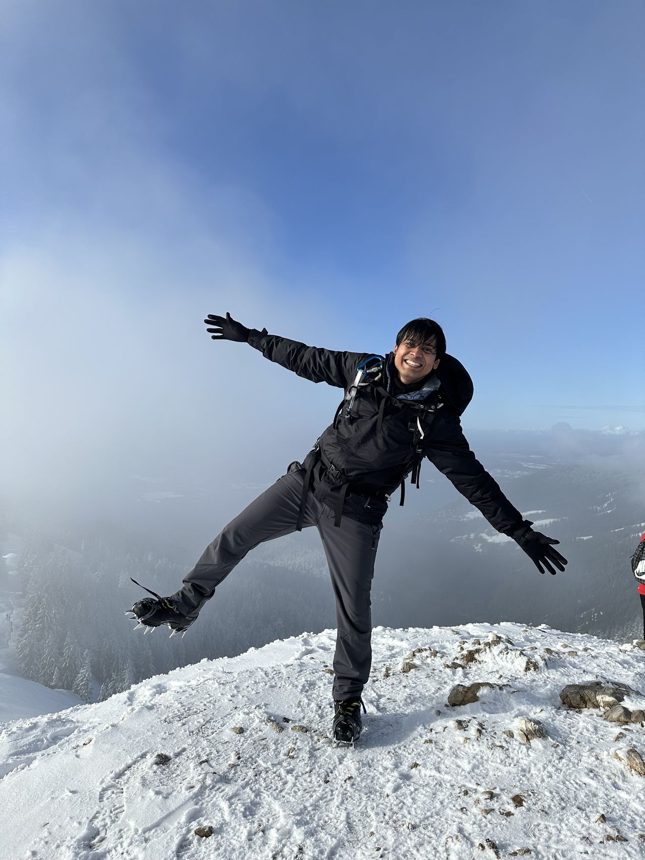
- Sidhant
-------
| Technical Difficulty | Difficult | |||||||||||
|---|---|---|---|---|---|---|---|---|---|---|---|---|
| Gear | Hiking Boots , Hiking Poles , Klettersteig Set , Helmet | |||||||||||
| Popularity | 2 | |||||||||||
Route statistics
| Highest point | 2385m | |||||||||||
|---|---|---|---|---|---|---|---|---|---|---|---|---|
| Total gain | 1784m | |||||||||||
| Total loss | 1784m | |||||||||||
| Duration | 09h52m | |||||||||||
| Distance | 17.6Km | |||||||||||
| Rating | 1821 | |||||||||||
Best Season
Forecast
Author