MTB Teisenbergrunde | 1262m
| Elevation gain |
| Elevation loss |
| Distance |
| Duration |
| Highest altitude |
| Rating |
Route Information
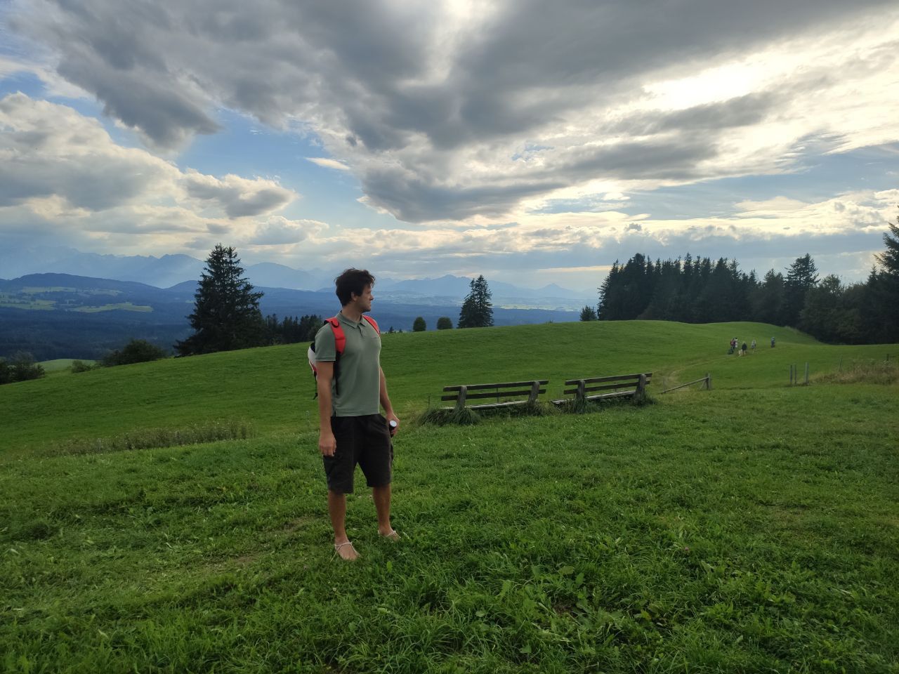
A nice MTB tour, ascent in the woods over Frillensee ( you can additionally hike the Heidelberg 400hm for a superb view).
To Stoißer Alm and down a trail (S2-S3, not for beginners) or alternatively down fire roads. See this video for exact description and route! (On komoot). The video says 1.300hm.
https://m.youtube.com/watch?v=Zx-tIak7Wg8&pp=ygUPdGVpc2VuYmVyZ1J1bmRl
https://www.komoot.de/tour/970899040?
Automatic direction calculation (experimental feature, please provide feedback)
By car: Navigate using Google maps
By public transport:
Train station near start point: Teisendorf (3.8 Km from start point)
Bus stop near start point: Mayerhofen Höglwörther See (814 m from start point)
Bus stop near start point: Höglwörther See, Abzw. (937 m from start point)
------
Automatic hut detection (experimental feature, please provide feedback)
Stoißer Alm (1272 m):
Location: Google maps
------
| Technical Difficulty | Easy | |||||||||||
|---|---|---|---|---|---|---|---|---|---|---|---|---|
| Gear | ||||||||||||
| Popularity | 1 | |||||||||||
Route statistics
| Highest point | 1262m | |||||||||||
|---|---|---|---|---|---|---|---|---|---|---|---|---|
| Total gain | 1047m | |||||||||||
| Total loss | 1047m | |||||||||||
| Duration | 10h08m | |||||||||||
| Distance | 28.5Km | |||||||||||
| Rating | 1538 | |||||||||||
Best Season
Forecast
Author