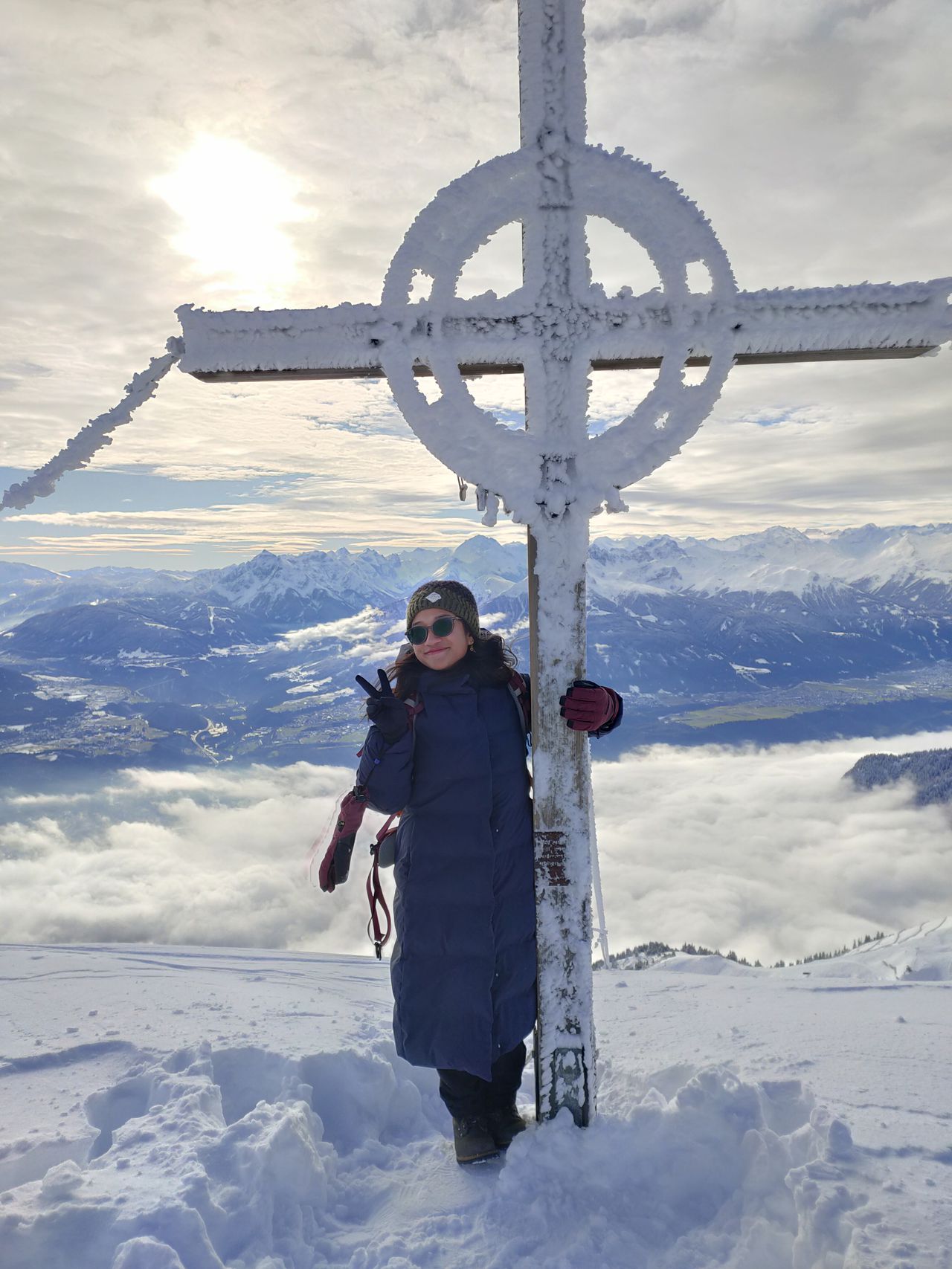
Zwieselberg | 1348m
| Elevation gain |
| Elevation loss |
| Distance |
| Duration |
| Highest altitude |
| Rating |
Route Information
Automatic peak(s) detection (experimental feature)
The route passes by the following peaks:
- Zwiesel (1348 m)
- Stallauer Kopf (1322 m)
By car: Navigate using Google maps
By public transport:
Train station near start point: Bad Tölz (4.6 Km from start point)
Bus stop near start point: Blomberg (66 m from start point)
Train station near end point: Bahnhof Bichl (5.5 Km from end point)
Bus stop near end point: Ostfeld (2539 m from end point)
Bus stop near end point: Hinterstallau (2553 m from end point)
| Technical Difficulty | Easy | |||||||||||
|---|---|---|---|---|---|---|---|---|---|---|---|---|
| Gear | ||||||||||||
| Popularity | 1 | |||||||||||
Route statistics
| Highest point | 1348m | |||||||||||
|---|---|---|---|---|---|---|---|---|---|---|---|---|
| Total gain | 665m | |||||||||||
| Total loss | 48m | |||||||||||
| Duration | 02h04m | |||||||||||
| Distance | 5.3Km | |||||||||||
| Rating | 608 | |||||||||||
Best Season
Forecast
Author