Multi day hiking tour | 1800m
| Elevation gain |
| Elevation loss |
| Distance |
| Duration |
| Highest altitude |
| Rating |
Route Information
This tour is suitable for the late autumn; connecting some of the huts which are still open in this period of the year and offering beautiful landscapes:
Day I: Jachenau-Benedikterwand-Tutzingerhutte
Day II: Tutzingerhutte-Latschenkopf-Stangeneck-Brauneckgipfel-Lenggrieserhutte
Day III: Lengriesserhutte-Mariaeck-Hochplatte-Buchsteinhütte
Day IV: Buchsteinhütte-Tegernseerhutte-Sonnberg Alm-Bayerwald
Automatic direction calculation (experimental feature, please provide feedback)
By car: Navigate using Google maps
By public transport:
Train station near start point: Lenggries (8.9 Km from start point)
Bus stop near start point: Petern (4 m from start point)
Bus stop near start point: Orth (310 m from start point)
Train station near end point: Lenggries (10.9 Km from end point)
Bus stop near end point: Bayerwald, Kreuth (139 m from end point)
------
Automatic hut detection (experimental feature, please provide feedback)
Tutzinger Hütte (1327 m):
Website: Homepage
Wikipedia: Wikipedia page
Location: Google maps
Brauneck-Gipfelhaus (1540 m):
Website: Homepage
Phone: +49 8042 8786
Wikipedia: Wikipedia page
Location: Google maps
Lenggrieser Hütte (1336 m):
Url: Homepage
Phone: +498042967112
Location: Google maps
Buchsteinhütte
Location: Google maps
Tegernseer Hütte (1650 m):
Location: Google maps
------
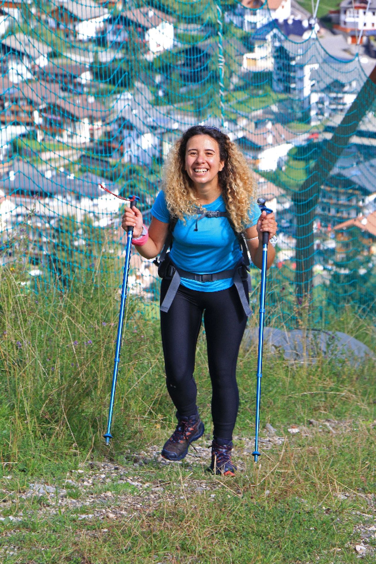
They can be slippery parts, cables and narrow paths from time to time. Stay safe all the time!
| Technical Difficulty | Medium Difficult | |||||||||||
|---|---|---|---|---|---|---|---|---|---|---|---|---|
| Gear | Hiking Boots , Hiking Poles | |||||||||||
| Popularity | 1 | |||||||||||
Route statistics
| Highest point | 1800m | |||||||||||
|---|---|---|---|---|---|---|---|---|---|---|---|---|
| Total gain | 3693m | |||||||||||
| Total loss | 3650m | |||||||||||
| Duration | 29h34m | |||||||||||
| Distance | 54.1Km | |||||||||||
| Rating | 3776 | |||||||||||
Best Season
Forecast
Author